

Getting Around Nepal in 2026: Road Safety, Maps, SIM Cards and Flights
A practical guide to moving around Nepal in 2026: why daylight buses beat night ones, how weather cancels Lukla and Pokhara flights, where ride-hailing actually works, why map apps fail on hill roads, and how to get a tourist SIM registered on day one.

Most trips through Nepal go fine, and the parts that go wrong tend to go wrong in motion: a highway at 2am, a jeep track a map app swears is a road, a ridge where the last bar of signal vanished an hour ago. Getting your head around road safety in Nepal is less about fear than about timing, daylight, and one quick question to a local before you commit.
This is the second of three parts. Part one covers health, water, food and altitude. Part three covers scams, solo travel and emergency response. What follows is only about getting from A to B, and staying reachable while you do it.
Nepal looks small on a map and behaves large on the ground. Kathmandu to Pokhara is roughly 200km and can take anywhere from six hours to eleven, depending on the season, the road, and whether a truck has gone sideways in a bend. Plan distances in days, not kilometres.
Roads and buses: the case for travelling in daylight
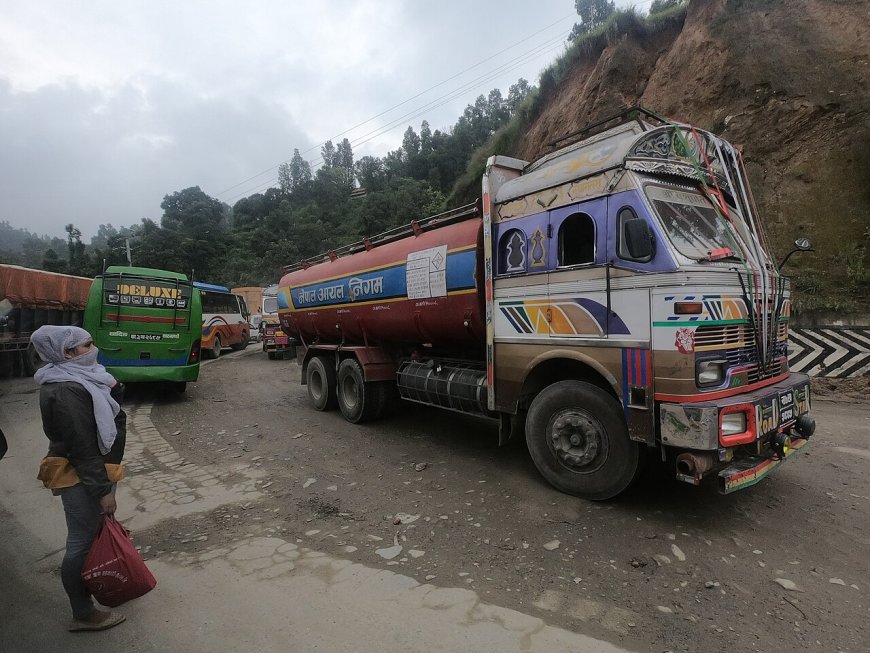
Most long-distance highways are two lanes cut into hillsides, rock face on one side, drop on the other. Monsoon rain from roughly June to September brings landslides, washed-out shoulders and rockfall, sometimes closing the same stretch twice in a week. The drivers are skilled. They are also working long shifts on roads where overtaking on a blind bend is completely normal.
Night buses are popular because they save a day of holiday. They also put you on those roads at the hour when fatigue is highest and visibility is worst. Where a daytime service exists, take it. A night bus to Pokhara or down into the Terai isn't automatically a bad decision, but book with an operator whose recent reviews are solid, and accept that a road closure at 3am means sitting still until dawn. Rules on overnight services have been tightened after serious crashes in the past and they vary from route to route, so ask the operator or your hotel what applies on yours before you pay.
Two more things to build into any long road day. Strikes, bandhs, can stop vehicles on certain routes on certain days, so check local news the night before. And keep a buffer day before an international flight, because we'll be in Kathmandu by 4pm is a hope, not a schedule.
Domestic flights: fast, and at the mercy of the weather
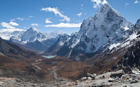
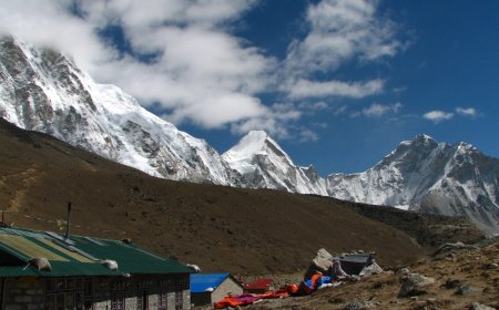
Flying is a real part of travelling around Nepal, not a luxury add-on. Kathmandu to Pokhara is about 25 minutes in the air. But mountain flying here is weather flying. Lukla, the airstrip where most Everest Base Camp treks begin, gets grounded by cloud and wind often enough that trekking operators build buffer days into itineraries, and in peak season the backlog can take days to clear. Pokhara is more dependable, though morning fog and monsoon cloud still cancel flights there too. The rule is the same everywhere: book the first departure of the day, because conditions build as the day goes on.
Practical notes. Nepali carriers were placed on the EU air safety list back in 2013 and safety oversight has been a long-running concern, so check your airline against your own government's travel advice rather than a blog. Baggage limits are tight and weighed properly, hand luggage included. And if your trek depends on a flight in or out, confirm your insurance actually covers weather cancellation and trip delay, because plenty of standard policies don't.
Ride-hailing: a Kathmandu Valley story
Pathao and inDrive come up most often in traveller discussions, with Pathao also running motorbike rides. Both are overwhelmingly a Kathmandu Valley operation, with some service in Pokhara and effectively nothing in smaller towns, so open the app before you build a day around it. InDrive's presence in Kathmandu has come and gone over the years, which is another reason to check rather than assume.
One catch that trips up a lot of arrivals: signing up usually needs a Nepali mobile number to receive the verification code. That alone is a good reason to sort your SIM on day one instead of day three.
Outside the apps, metered taxis are uncommon. Agree the fare before you get in, or use the app's quoted price as your reference point. On a motorbike ride, ask for the spare helmet, and remember your luggage goes wherever your feet aren't.
Maps: fine in the city, shaky on the hill roads
Google Maps is generally dependable inside the Kathmandu Valley and along the main highways. Rural roads are a different matter. Tracks get bulldozed through hillsides and then washed out again, so a map can show a route that no longer exists and miss the one people actually use. If you're heading somewhere remote, download offline map areas before you lose signal, and cross-check the route with a guesthouse owner or driver before committing to it.
For trekking, OpenStreetMap-based apps often carry better trail detail than the big commercial maps, and a paper map plus a question at the teahouse is still the most reliable combination going. No app can tell you the bridge is out.
SIM cards: what to sort on day one
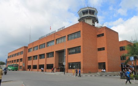
Nepal Telecom and Ncell are the two main operators, and a Nepal SIM card for tourists is normally bought at a branded operator counter or an airport desk, not from a helpful stranger near Thamel. Take your passport and your visa details. Registration is ID-linked and involves your photo being taken at the counter, so budget half an hour and don't count on being online in your first hour on the ground. Tourist packages run on short validity, usually 7, 15 or 30 days, and buying a data bundle works out far cheaper than paying per megabyte. Topping up afterwards is easy: scratch cards from any corner shop.
If you want data the moment you land, buy a travel eSIM before you fly. It runs on Ncell or Nepal Telecom towers anyway, so the coverage is identical. You're just paying a little more to skip the queue.
Coverage is decent in cities and along the main highways, patchy once you're in the hills or deep in a valley. Data is not a safety net. Tell someone your route and expected return before you set off, carry a power bank, and remember that on a trek a twenty-minute walk can put you hours from the nearest bar of signal.
None of this is exotic. Travel in daylight where you have the choice, book the early flight, buy the SIM before you need it, keep a spare day, and when an app and a local disagree about a road, believe the local. Emergencies get their own treatment in part three, and health, water and altitude are covered in part one.
What's Your Reaction?