





Bandipur as a Base, Manakamana as a Side Trip: Routing and Road Reality from Kathmandu and Pokhara
Bandipur (Tanahun) as a base with Manakamana (Gorkha) as a side trip: the Dumre turnoff, the Pokhara leg, monsoon timing, and what this page deliberately does not quote, dated to 6 October 2026.

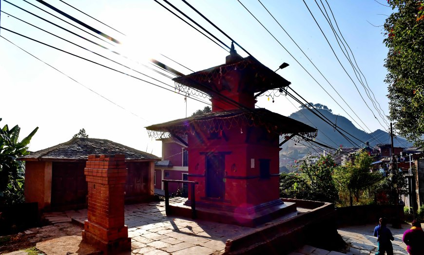
Bandipur usually gets filed under "hill station near Pokhara", and Manakamana gets filed under "temple stop on the way to Pokhara". Somewhere in that filing, the two get squashed into one imaginary district. They are not in the same district. They are on the same road, though, and that is the part worth planning around.
Bandipur is in Tanahun. Manakamana is not.
Bandipur sits in Bandipur Rural Municipality, Tanahun District, on a ridge above the Marsyangdi River, at roughly a thousand metres. Manakamana temple is in Gorkha District. The cable car that most visitors ride to reach the temple starts from a lower station at Kurintar, on the Prithvi Highway.
The lower station's official local-unit name, meaning which rural municipality and district it is actually listed under, is something I am deliberately not going to state from memory. If that level of detail matters to you, read it off the cable car operator's own site and cross-check it against a current local-unit listing.
So the shape of the trip is this: Bandipur is your base. Manakamana is a side trip off the same highway. It is not a Tanahun sight, and any itinerary that presents it as one is already misfiring.
Why Bandipur works as a base
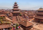
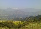
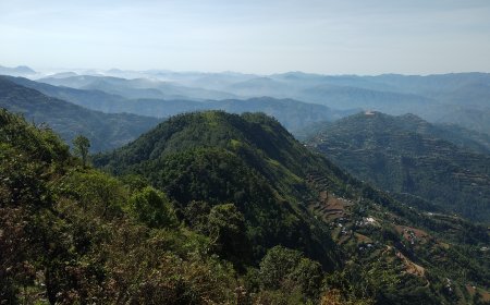
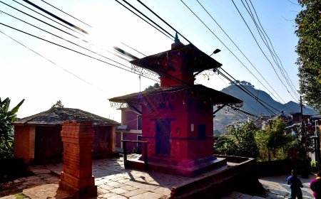
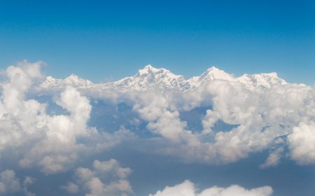
The bazaar street is car-free, which is rare enough in Nepal to be worth the detour on its own. Behind it, the ridge gives you the Annapurna and Manaslu ranges on a clear morning. Walk up to Thani Mai for sunrise or sunset, walk down to Siddha Cave (allow more time coming back up than you think), or head out to Ramkot, a Magar village an hour or so along the ridge. Two nights is the sensible minimum; one night is a rush and a lot of people regret it.
Kathmandu to Bandipur: the Dumre turnoff
There is no direct bus to Bandipur from Kathmandu. You take any Pokhara-bound service along the Prithvi Highway and get off at Dumre, the junction town where the Bandipur road leaves the highway. Tourist coaches and local buses both pass through, in the morning and through the night.
How long that takes is the question everyone asks and nobody can answer honestly. In the dry months it is a long half-day from Kathmandu, in the region of six to eight hours by private vehicle, and buses add to that. That range is a rule-of-thumb travellers use, not an official figure, and it can collapse entirely when the highway is blocked. In the monsoon, that same drive routinely runs considerably longer.
Dumre to Bandipur
From Dumre it is roughly eight kilometres of switchbacks up to the ridge, and this is the bit people underestimate. Local jeeps and shared vehicles run the route, and a taxi from Dumre is the other option. If you are arriving in the dark, arrange your lift in advance. Walking it with a full pack is possible and unpleasant.
Bandipur to Pokhara
The reverse is easier. Get down to Dumre, flag a Pokhara-bound bus on the highway, and you are on the last leg of the Prithvi Highway into the city. It is a short hop in distance terms and a considerably longer one in practice, because this stretch is where the road most often gets congested or held up. Leave buffer time if you have a flight out of Pokhara.
Manakamana as a side trip
Kurintar, where the cable car's lower station sits, is on the Prithvi Highway between Dumre and Mugling. That means you can slot Manakamana into a Bandipur-to-Pokhara day rather than treating it as a separate expedition. The temple can also be reached by road from the highway, which is much slower and not something I would recommend without checking current conditions first.
I am not giving cable car operating hours, ticket categories or fares here, and that is on purpose. As of today, 6 October 2026, I could not attach a dated operator notice to any of those numbers. A travel page that quotes a price it cannot source is worse than useless, so check the operator's own notice on the day you go, and budget more time than you think the queue needs.
Monsoon timing, dated to now
The 2026 monsoon ran from June through September and has just ended. If you are leaving in the next few days, you are in the post-monsoon window, which is the good one: clearer skies, and a highway that has had a few weeks to recover.
The routing that is genuinely unworkable in a normal year is the tight one. Trying to squeeze Kathmandu, Dumre, Bandipur, Manakamana and Pokhara into two days during June to September rain is asking for trouble, because the Prithvi Highway loses hours to landslides and slope failures in that season as a matter of pattern. That is a seasonal observation, not a prediction about any particular day. In the post-monsoon weeks, give yourself one extra day as insurance and you will probably never need it.
Road works: what I could not verify
Road-works reporting on the Prithvi Highway generally concerns the Narayanghat to Mugling and Mugling to Pokhara sections. I could not confirm a dated status for either as of 6 October 2026, so this article states none. Nothing here is described as completed, under construction or planned, because I have no dated source saying so.
That is worth keeping in mind when you read other guides. A page that tells you a stretch is finished without telling you when it was finished is telling you nothing. Check a recent update, or just ask at your hotel desk before you set out. Conditions change, sometimes within a week.
What this page leaves out, and why
No bus fares. No cable car ticket prices. No hotel rates. No operating hours. Every one of those numbers changes often and none of them could be tied to a dated primary source on the day of writing, so they are absent rather than estimated. For fares, ask at the transport office or the bus counter. For the cable car, use the operator's own notice. For rooms, book directly and confirm the rate in writing.
By the NepalDatabase editorial team. Sourcing note: figures in this article were last checked on 6 October 2026. Where a figure could not be attributed to a named, dated source, it was cut rather than softened. Distances and travel-time ranges quoted above are geographic approximations or traveller rule-of-thumb ranges, not official measurements, and road conditions on the Prithvi Highway change frequently.
What's Your Reaction?