





Machhapuchhre: Nepal's Fishtail Mountain and Its Annapurna Setting
A guide to Machhapuchhre, the fishtail-shaped 6,993 m peak north of Pokhara: why its summit has never been climbed, where it fits in the Annapurna Massif, and the best places to see it, from Sarangkot to Machhapuchhre Base Camp.

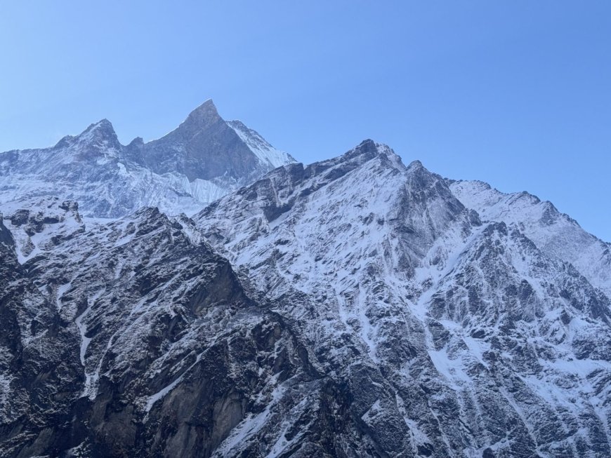
Machhapuchhre is the mountain that stops people mid-sentence on the road out of Pokhara. It isn't the tallest thing on the skyline, not close. Annapurna I does the heavy lifting further north. But the sharp double summit, with the lower point flicking up like the tail of a fish, pulls the eye away from everything else.
It is also one of the few big peaks in Nepal where the most interesting fact is an absence. Nobody has stood on top, and the mountain has been closed to climbing for decades.
The name
Machhapuchhre comes from Nepali: machha for fish, puchhre for tail. Fishtail Mountain is the plain translation and the name most visitors learn first. Older books and some maps still use Machapuchare, and that spelling survives in print, but Machhapuchhre is the standard form and the one used here.
Height and where it stands
The mountain is usually listed at 6,993 m, or 22,943 ft. Published figures differ by a few metres, which is normal for a summit fixed by survey triangulation rather than by a GPS unit carried to the top. No climber has been up there to settle the argument.
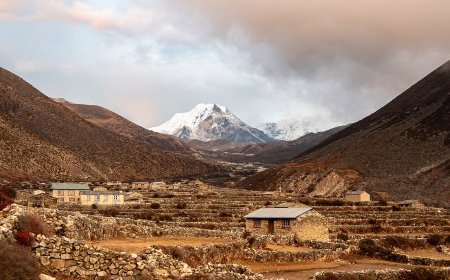
It stands in the Annapurna Massif in north-central Nepal, at the southeastern end of the group and directly north of Pokhara. The massif itself runs roughly east to west, with the Kali Gandaki gorge along its western side and the Marsyangdi valley on its eastern side. Machhapuchhre sits near that southeastern corner, closer to Pokhara than the main Annapurna summits. The whole area falls inside the Annapurna Conservation Area, Nepal's largest protected area, which is part of why the forests and terraced fields below the peak still look the way they do.
The 1957 attempt
Machhapuchhre has never been climbed, but not for lack of skill. In 1957 a British expedition led by Jimmy Roberts worked its way up the mountain. Two members, Wilfrid Noyce and David Cox, are generally described as having turned around roughly 50 m below the summit. The usual explanation is that the team had agreed not to stand on the top out of respect for local religious feeling, and that the promise held. Accounts differ on how the decision was reached. Nobody disputes the result.
Since then Nepal has kept the peak closed to climbing, and expeditions that ask for permission are refused. Walkers are not affected by that, though. The trails below the summit are open, and a lot of people get remarkably close.
Why the summit stays empty
For many people living around the mountain, Machhapuchhre is not scenery. Local tradition holds that the summit is the home of Lord Shiva, and the mountain is treated as a place you do not walk on. That belief, more than any technical obstacle, is what has kept the top untouched. It also puts the peak in a different category from its neighbours: there is no climbing history to argue about, because there is no climbing.
Inside the Annapurna Massif
The Annapurna Massif is a ridge system rather than a single mountain, and the names attached to it can get confusing. Annapurna I at 8,091 m is the highest and was the first eight-thousander ever climbed, by Maurice Herzog and Louis Lachenal in 1950. Annapurna South, Gangapurna, Annapurna II, III and IV, Hiunchuli and Machhapuchhre all belong to the same broad group.
Machhapuchhre is the odd one out among them. It sits lower than the main Annapurna summits and has no climbing record at all, yet it is probably the peak most people picture when they think of the region. Shape does most of that work. Two summits close together with a steep notch between them hold snow and shadow differently from the rounder, bulkier mountains behind.
Seeing it: Pokhara, Sarangkot and the base camp trail
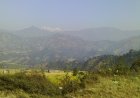
Most visitors meet the mountain from Pokhara, and that is the easiest view to arrange. The peak shows up from Lakeside, from the shore of Phewa Lake, and from almost any rooftop cafe on a clear morning. October to November and March to April give the best odds. Through the monsoon it can disappear for days at a time.
For a wider angle, drive or hike up to Sarangkot on the ridge north of town. Sunrise there is busy for a reason. The light hits the Annapurna wall first and reaches Machhapuchhre a few minutes later, and from that height you see the whole fish tail profile instead of a slice of it between rooftops.
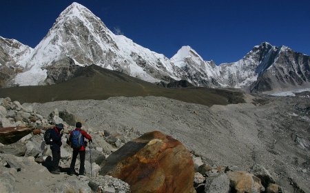
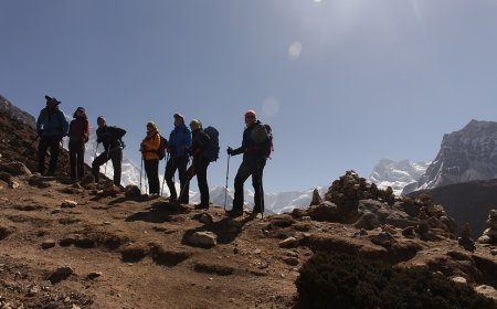
Trekkers get closer still. The Annapurna Base Camp trek passes through Machhapuchhre Base Camp, usually shortened to MBC, at about 3,700 m. It is a lodge stop on the way up to Annapurna Base Camp, not a climbing base, so the name oversells it a little. You still sleep directly under the south face, and at dawn the mountain fills the view in a way photographs never quite manage.
Light, shadow and a shape that changes
Height is the usual way of ranking Himalayan peaks, and by that measure Machhapuchhre barely registers against the giants behind it. It probably appears on more postcards than any of them anyway. What stays with you is not the number. It is the way the notch between the two summits holds shadow while the snow on either side turns bright, and how the fish tail only really reads as a tail from a distance. Stand at MBC and the tail is gone; you are looking at a steep, serious wall. Walk back down to Pokhara, glance up from the lake, and there it is again.
What's Your Reaction?