








Tanahun District: Damauli, Vyas Municipality and Prithvi Highway Junctions
Tanahun District in Gandaki Province: Damauli headquarters, Vyas Municipality, Prithvi Highway junctions at Dumre and Anbu Khaireni, 10 local levels, and the birthplace of Bhanubhakta Acharya at Chundi Ramgha.

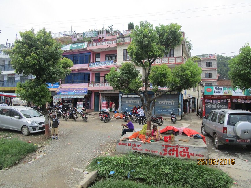
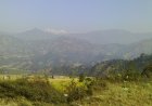
Tanahun District sits in the hill region of Gandaki Province, its administrative centre at Damauli. The town of Damauli falls within Vyas Municipality, the urban local level that carries the name of the sage Vyasa — a tradition recorded in local histories. The two names often get swapped in conversation, but they refer to different things: Damauli is the headquarters settlement, while Vyas is the municipal boundary that contains it and the surrounding wards.
Geography and population
The district covers 1,546 square kilometres. The 2021 National Census, conducted by the National Statistics Office, recorded a population of 321,153 — a slight dip from the 2011 count of 323,288. Most residents live in the river valleys and on ridge-top settlements linked by the Prithvi Highway and a network of feeder roads.
Prithvi Highway junctions
The Prithvi Highway runs east to west across Tanahun, linking the Kathmandu corridor with Pokhara and the western hills. Two main highway bazaars inside the district serve as turn-offs for major side routes. Dumre is the access point for the historic hill town of Bandipur. Further west, Anbu Khaireni marks the turn-off toward Gorkha district. Mugling, often mentioned in the same breath, sits at the confluence of the Trishuli and Marsyangdi rivers but lies just across the boundary in Chitwan District.
Damauli: district headquarters
Damauli functions as the district's primary market, bus stopping point and administrative hub. It sits near the confluence of the Seti and Madi rivers, a location that has long made it a natural gathering place for traders and travellers moving between the mid-hills and the plains. Government offices, the district hospital and the main bus park are all clustered here.
Local levels
Under the 2017 federal restructuring, Tanahun contains ten local levels: four municipalities and six rural municipalities. The municipalities are Vyas, Bhanu, Bhimad and Shuklagandaki. The rural municipalities are Anbu Khaireni, Bandipur, Devghat, Ghiring, Myagde and Rishing. This list matches the current Nepal Gazette and Ministry of Federal Affairs and General Administration records.
Bhanu Municipality and Chundi Ramgha
Bhanu Municipality lies north-central of Vyas. It is known for Chundi Ramgha, the birthplace of the poet Bhanubhakta Acharya, who penned the first Nepali translation of the Ramayana. The site draws literary pilgrims and school groups, especially during the annual Bhanu Jayanti celebrations.
Travel notes
The highway sequence — Dumre, Anbu Khaireni, then the approach to the Mugling bridge — frames the district's main transport spine. Side roads from these junctions climb into the middle hills, connecting to temple sites, historic towns and rural wards. Monsoon landslides can close sections for hours; the Department of Roads posts daily updates on its website and via local transport operators. For the latest conditions, check before departure.
What's Your Reaction?