






Is the Glacial Lake Above You Monitored? How to Check GLOF Risk in Nepal After the August 2026 Nepal–Tibet Floods
After the August 2026 Nepal–Tibet floods, many people want to know whether the glacial lake above them is monitored. No single public list answers that, so here is a practical method to check what has been published, by whom, and when.

Is the Glacial Lake Above You Monitored? How to Check GLOF Risk in Nepal After the August 2026 Nepal–Tibet Floods
When the water came down across the Nepal–Tibet border in August 2026, the first question people in the hill districts asked was a simple one: is the lake above us being watched? The August 2026 Nepal–Tibet floods (BBC, 28 August 2026) put glacial lake risk back at the front of public conversation. The honest answer to that question is that it depends on which lake you mean, and the information is harder to pin down than you would hope.
What follows is a method, not a directory. There is no single public page that hands you a lake-by-lake monitoring status for the whole country, and anyone who claims otherwise should be asked for a source. So the useful skill is knowing how to read what official and research bodies have actually published, and how to tell a current answer from an old one.
Two different things get called "monitoring"
Inventory and desk-based work. Researchers and agencies trace lake outlines from satellite imagery, compare them across years, and screen which lakes have grown or sit beneath steep, unstable slopes. This is what gets published in a glacial lake inventory. It tells you a lake exists and how it has changed over time. It does not tell you what the lake is doing this week.
Early warning on the ground. This means instruments near a lake (water level sensors, cameras, weather stations), a way to transmit the readings, and a downstream chain of sirens, phone alerts and people who know where to go. The two layers get talked about as if they were one thing. They aren't, and a lake can appear in an inventory without any warning system attached to it at all.
What a GLOF early warning system does not promise
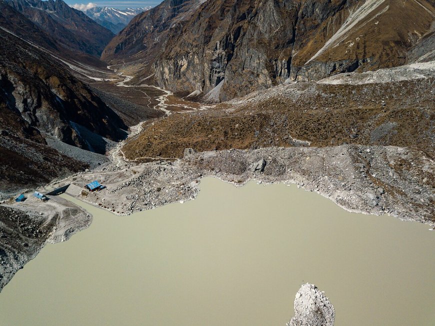
A glacial lake outburst flood happens when the barrier holding a glacial lake back, usually a moraine of rock and ice debris, fails or is overtopped, and water comes down the valley fast. An early warning system is meant to catch the signs and get people out of the way. It is not a wall.
Systems fail. Sensors lose power, mobile networks drop during the same storms that cause trouble, sirens are not heard indoors at night, and evacuation routes fall apart if nobody has ever practised them. A monitored lake is not a safe lake. It is a lake somebody is watching.
GLOF risk is several things stacked together
When people say a lake is "dangerous", they are usually mashing four separate questions into one. Hazard: is the lake growing, is its dam weak, is there loose rock or an overhanging glacier above it? Exposure: how many people, houses, roads, hydropower plants or bridges sit in the path water would take? Vulnerability: how fast could those people get out, and has anyone told them what to do? Some risk frameworks add a fourth category, engineered or physically lowered, meaning a lake whose level has been deliberately reduced by construction work. That is a category of intervention, and it is not something you can read off a map.
How to check the lake above your settlement
Work through these in order. Skip a step and you will probably end up with a number that means nothing.
- Go to official sources first. Start with the public pages of Nepal's hydrology and disaster-management agencies, and with the regional research institutes that publish Himalayan lake inventories. Search your district name alongside "glacial lake" and "early warning". Social media posts and forwarded screenshots are not sources.
- Look for a named lake, not a general claim. A useful page tells you the lake's name, its district and ideally its coordinates. A page saying a programme covers "high-risk lakes" without naming them tells you almost nothing about the lake above you.
- Write down the source date. Inventories and programme pages carry publication dates, and many of them are years old. A lake described in an earlier inventory is described as it was then, not as it is in 2026. If a named body publicly described a lake as monitored in a dated report, that report and its date are what you quote.
- Cross-check local disaster-management information. District and municipal disaster management committees, ward offices and local aid organisations often know which settlements sit inside an early warning area even when nothing about it is online. Ask in person, and ask who carried out the survey.
- Ask in writing, and ask specific questions. Which lakes above this settlement are instrumented? What sort of instruments, and who maintains them? When were they last inspected or serviced? Is there a downstream siren or phone alert, and has it been tested? A dated written reply beats any rumour.
Red flags in what you find
Be sceptical of a hazard ranking with no source named next to it. Be sceptical of a lake count presented as a monitoring status, because a lake existing and a lake being watched are two different facts. Watch for pages with no date, and for the word "monitored" used without a single instrument, agency or inspection date attached. If you cannot trace a claim back to a dated document, treat it as unconfirmed.
What to do with a thin answer
You may come away with no clear answer at all. That is not proof that nothing is being done, and it is not proof that a lake is dangerous. It usually means the information has not been published in a form you can reach. In that case the practical move is to go up the chain: your ward office, your municipality, your district disaster management committee. Ask them the same specific questions and keep the replies. And whatever the monitoring status turns out to be, know your own route out and where your settlement's safe point is. That part is yours, not the sensor's.
What's Your Reaction?