







Cho Oyu's Nepal Side: The Border, the Nangpa La, and Why Almost Nobody Climbs From There
Cho Oyu is almost always written up as a Tibetan mountain, reached by road from Tingri. This looks at the other flank: where the Nepal–China border crosses the summit, what the Nangpa La meant before it was a frontier, why road access handed Tibet the commercial route, and how to weigh the occasional claim of a Nepal-side ascent.

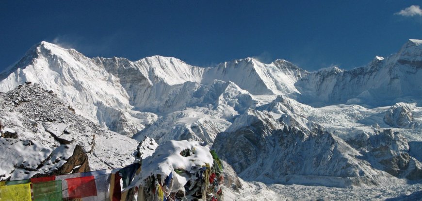
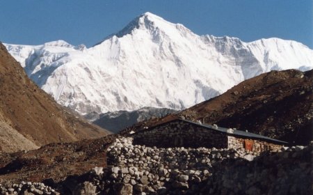
Cho Oyu is the sixth-highest mountain in the world at 8,188 m, and for nearly everyone who climbs it, it is a Tibetan mountain. You fly into Lhasa, drive west and south to Tingri, keep driving, and reach base camp close to 5,000 m without walking a step. That is the Cho Oyu in almost every trip report and every commercial brochure.
The Cho Oyu Nepal side gets a paragraph, if that. It also happens to explain why the mountain sits where it sits, and why the line on the map is not an abstraction but a place people have walked over, traded across, and occasionally died on. So this is about the other flank: where the frontier runs, what the Nangpa La used to be for, and why a mountain you can drive to from Tibet has never turned into a trekking objective from Khumbu.
Where the border actually runs
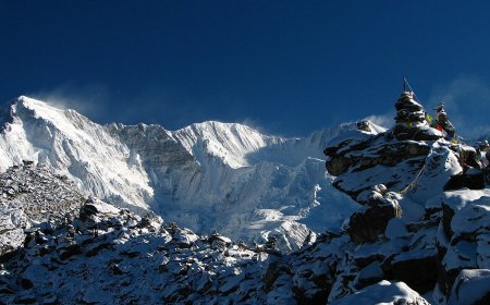
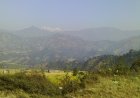
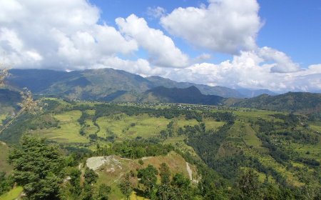
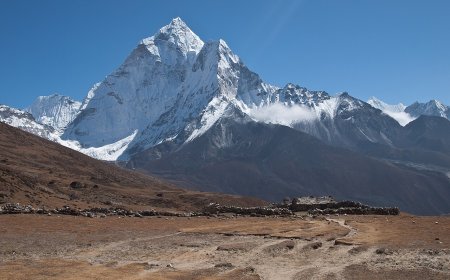
Cho Oyu stands on the Nepal–China border in the Mahalangur Himal, west of Everest. The summit is on the line itself. The north and north-west flanks drain into Tibet; the south and west flanks fall into the Khumbu, inside Sagarmatha National Park and Khumbu Pasanglhamu rural municipality in Solukhumbu district.
The practical consequence is blunt. There are two ways to stand on that summit, and only one of them begins with a vehicle.
The Nangpa La was a door long before it was a border
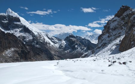
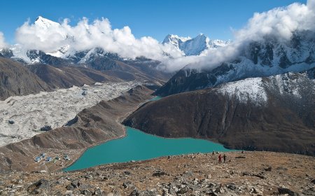
The natural line from the Khumbu towards Cho Oyu runs up the Nangpa Valley, past Thame and Lungden, to the Nangpa La, a glacier pass at roughly 5,700 m. For generations this was a trade route, not an expedition route. Sherpa traders from Khumbu took yaks and sheep over it towards the markets at Tingri, and the traffic ran both ways. Thame, the last proper village on the way up, has produced a striking number of high-altitude climbers, which is not really a coincidence. Families there grew up at altitude, on a route that led somewhere.
The pass stopped being a trade route in the middle of the twentieth century, once the border closed. It never stopped being a crossing. People have kept going over it, often for reasons that have nothing to do with mountaineering. In 2006 Chinese border police fired on a group of Tibetans crossing the Nangpa La and killed a teenage nun. That incident belongs to the modern history of this ground, and it is part of why the pass is treated as a monitored frontier rather than a trekking objective.
Why the Tibet side won
Logistics explain most of it. The Chinese route hands you road access to roughly 4,800–5,000 m, a base camp with vehicles in it, and a comparatively short carry to the camps on the north-west shoulder. The Nepali approach asks for days of walking from Lukla or the road head below it, up through Thame and along the Nangpa Valley, with all the acclimatisation and load carrying that implies, before any climbing starts.
Then there is the permit layer. A Tibet-side Cho Oyu expedition needs a Chinese climbing permit, a Tibet travel permit and the usual liaison arrangements, and access has been shut for whole seasons in the past, most obviously through the pandemic years. A Nepal-side attempt needs Nepali climbing royalty, Sagarmatha National Park entry and local Khumbu fees. Both systems are workable on paper. Only one of them currently has a commercial pipeline behind it, with camps, ropes and oxygen stocked in advance.
What the Nepal side actually asks of you
More than distance. The Nangpa La approach puts you on the south-west flank, where the ground is steeper, the glaciers more broken, and the weather shaped by the same monsoon that defines the Nepali autumn. There is no established route line, no fixed ropes, no operator with a tent already pitched. Any Nepal-side attempt is, in the present state of things, a small expedition making its own calls.
That is not an argument for dismissing it. It is an argument for being sceptical when a headline announces a new Nepal route on Cho Oyu. Ask what was actually climbed, from where, whether anyone stood on the summit, and whether the team crossed the frontier legally or turned around at the pass.
How to read a Nepal-side Cho Oyu claim
Reporting on this flank is thin and often second-hand, so a few checks are worth running before you take anything at face value:
- The permit. Which government issued a climbing permit, and for which approach?
- The start point. Thame and Lungden are easy to name and hard to walk to. A report that skips the approach is usually skipping something else too.
- The summit. "Reached the Nepal side of Cho Oyu" and "summited Cho Oyu" are different sentences.
- The date. Season language drifts fast in retellings, so check when a report was filed, not when you happened to read it.
Through the autumn 2025 season, commercial Cho Oyu expeditions were still overwhelmingly run from Tibet. Anything more recent than that needs a dated source in front of you before it goes into your planning.
Why the Nepal side is still worth knowing about
Because the mountain is not just a permit category. The Nepali flank is the reason the summit is a border at all, the reason Thame exists as a climbing village, the reason the Nangpa La mattered to people who will never clip into a rope. If you are working through the 8,000 m peaks and want the practical answer, the Tibetan route is the one that will get you up. But knowing what lies on the other side of the ridge makes you a sharper reader of every Cho Oyu story you will meet afterwards, including the ones that get the border wrong.
What's Your Reaction?