






Ganesh Himal Trek: Route, Length and Season Guide
A practical guide to the Ganesh Himal trek covering where the range sits across Dhading, Rasuwa and Nuwakot, the route choices that actually change a trip, a hedged ten-to-seventeen-day range drawn from published operator itineraries with instructions on how to verify it, and how to pick a season by asking about recent trips rather than generic 'best time' answers.

The Ganesh Himal gets talked about far more than it gets documented. Search for a route map or a day-by-day itinerary and you keep landing on the same handful of operator pages, several of which read as if they were written from one another. Planning a Ganesh Himal trek from outside Nepal means working with thinner information than the Annapurna or Everest regions hand you. So this page sticks to the decisions that actually change a trip.
Two things are deliberately not here: prices and permit details. Fees and paperwork change, and a number copied from an old blog post is worse than no number at all. Take those questions to a licensed trekking operator and get the answer in writing. The rest of this page is about route shape, how long the walk takes and when to go.
Where the range actually is, and why it shapes routes
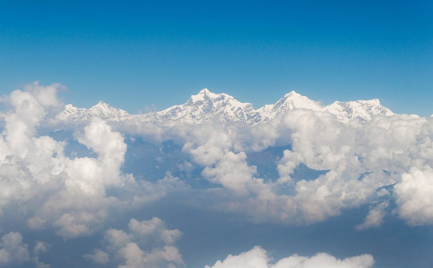
The Ganesh Himal sits northwest of Kathmandu, in the gap between the Langtang Himal to the east and the Manaslu massif to the west. The range spreads across three districts: Dhading, Rasuwa and Nuwakot. That one fact explains a lot of the confusion in route descriptions, because the same mountains get approached from different districts, along different roads, with different trailheads.
In practice most itineraries start from the Dhading side, and a smaller number come in through Syabrubesi in Rasuwa, the roadhead most Langtang trekkers already know. The area also travels under a second name. Much of this ground is sold as the Ruby Valley trek, so when you compare two itineraries, check whether the route descriptions match before assuming you are looking at two separate trips. Treat trailhead names as the start of a conversation rather than a fixed plan, since road access across Dhading and Rasuwa gets rebuilt and re-routed often.
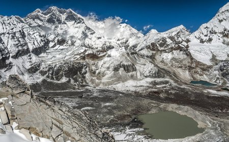
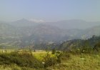
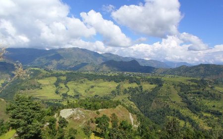
Image suggestion: a wide shot of the Ganesh Himal range seen from the Dhading approach, or an annotated sketch map marking the Dhading trailheads, Syabrubesi and the district boundaries. Suggested alt text: "View of the Ganesh Himal range in Nepal from the Dhading side, with trailheads and the Langtang and Manaslu ranges marked on either side."
How long the trek takes
There is no official length for a Ganesh Himal trek, because there is no single route. What exists is a market of published itineraries, and they cluster. Reading across the ones operators currently list, the spread runs from roughly ten days at the short end to about sixteen or seventeen at the top. Where a trip lands in that band depends mostly on the label: the shorter Ruby Valley itineraries sit near the bottom, while the deeper camping routes that push toward the range and build in acclimatisation days sit at the top.
Treat that as a sanity check rather than a booking figure. Something quoted well under ten days is probably a different, shorter walk that happens to use the same name. Something well over seventeen is either a considerably bigger expedition or a schedule padded with road time. Either could be right for you, but you should know which one you are being sold.
Sleeping altitude follows the same logic. On the itineraries I have read, the highest night sits somewhere between about 2,500 m on the lower loops and close to 4,000 m on the deeper camping versions. Ask for the figure night by night instead of accepting a single maximum, because the sequence of nights is what tells you whether the schedule actually acclimatises you or just claims to.
Route options: the choices that actually change the trip
"Ganesh Himal trek" is a loose label. Two operators can use it for trips of quite different character. Before you compare anything else, get a clear answer on three points.
Camping-based or lodge-based
Some itineraries run fully supported with a camp crew. Others depend on whatever teahouses exist along the line. Camping buys flexibility in where you sleep and usually means more staff and heavier logistics. Lodge-based trips are lighter but tied to settlements, which limits how far off the main lines you can go. Ask which one you are being quoted, because the two are not interchangeable versions of the same trip. Our comparison of teahouse and camping trekking in Nepal covers the practical differences.
Loop or out-and-back
A loop shows you more ground per walking day. An out-and-back returns along the same trail, which some people find dull and others find reassuring on a lightly travelled route where a known exit matters. Either can be right. Just check which one you are buying.
How deep into the range the route goes
Some versions stay on the lower approaches and treat the high peaks as scenery. Others push further in and need more days, more climbing and a proper acclimatisation plan. Ask for the highest point you sleep at, not the highest point you visit. Sleeping altitude is what drives acclimatisation, and it is the number that most often gets quietly dropped from a sales page.
What the day count is actually made of
Whatever number you are quoted, it is a product of four things. Knowing them lets you compare two itineraries properly.
- Travel to and from the trailhead. Road time in this part of Nepal can eat a day at each end, and the condition of access roads varies by season and by year.
- Whether the route is walked as a loop or retraced. Retracing adds days without adding new ground.
- Acclimatisation and rest days. If the route gains serious altitude, some of the quoted days should be rest days rather than walking days.
- Contingency. A weather or road day built into the schedule is what separates a plan from a hope.
So when you ask an operator how many days, ask a follow-up: how many of those are walking days, how many are travel days, and how many are contingency days. A quoted itinerary with no contingency is a quote for the best case. Ask for overnight place names for every night as well. A day count you cannot map is not really an itinerary.
Season planning
Start with the general picture for trekking in Nepal, which applies here only as background. The two well-established windows are spring, roughly March into May, and autumn, roughly late September into November. Outside those windows you are dealing with winter conditions at altitude or the monsoon, and both change what is realistic. Our Nepal trekking season guide goes through that pattern month by month.
For a Ganesh Himal trek specifically, country-level context is a starting point, not a forecast. Local conditions shift with elevation, aspect and the year you travel, and a route that crosses a high pass behaves very differently from a lower approach. Three questions will get you further than any "best time" answer:
- Has the operator run this exact itinerary in your month within the last season or two, and what happened on it?
- What is the highest sleeping altitude, and is it normally passable in your month?
- What is the backup plan if the route is blocked or the access road fails?
Ask for a specific recent trip rather than a general assurance. An operator who can name the month, the group and the route is giving you information. One who says it is fine all year is not.
The short version
Pick a route by asking what kind of trip it is, not by comparing day counts. Use the ten-to-seventeen-day spread as a rough check on whether a quote describes the walk you thought you were booking. Judge a day count by how many days are walking days and whether any contingency is included. Pick a season by asking what actually happened on the same route in that month recently. Then save the permit and budget questions for a licensed operator who can answer them for this season rather than last decade.
What to confirm yourself before departure
Permit requirements should be confirmed with a licensed trekking operator before you leave, because schemes and fees do change. Do not rely on a blog post, including this one. The same applies to access roads, which determine how you actually reach the start of the walk.
Check that your travel insurance explicitly covers trekking in this area up to the altitude you will reach, and that helicopter evacuation is included. Plenty of standard policies stop at a set altitude. Get the coverage confirmed in writing instead of assuming it. There is more on what to look for in our guide to trekking insurance for Nepal.
What's Your Reaction?