






Sindhupalchok District Travel Guide: Chautara, Melamchi, Tatopani and the Bhote Koshi Corridor
A practical guide to Sindhupalchok district in Nepal's Bagmati Province, covering how to reach Chautara and Melamchi, the hot springs and Bhote Koshi corridor at Tatopani, the status of the Kodari border, permit arrangements for Helambu and Panchpokhari, and the best seasons for trekking and rafting. Figures are dated and perishable details are flagged for verification rather than presented as fixed facts.

Overview
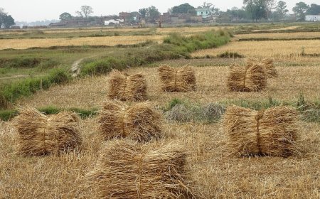
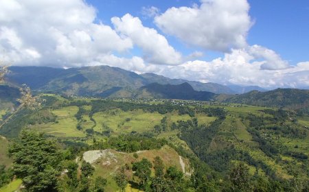
Sindhupalchok sits in the northeastern corner of Bagmati Province, wedged between the high Himalaya to the north and the Mahabharat range to the south. It's a large, steep district of river gorges and terraced hillsides, and most people here live in villages scattered across the middle hills rather than in the few town centres. The 2021 census recorded a district population of about 262,000, according to the National Statistics Office. Both spellings, Sindhupalchok and Sindhupalchowk, turn up in search results and on signboards; I use Sindhupalchok throughout.
For local government, the district is divided into three municipalities and nine rural municipalities. The municipalities are Chautara Sangachokgadhi, which serves as the district headquarters, Melamchi in the Indrawati valley, and Bahrabise on the Arniko Highway. That structure dates from the redrawing of local units after the 2015 constitution. The Ministry of Federal Affairs and General Administration publishes the current official list.
Getting There
The Arniko Highway (Araniko Rajmarga) runs from Kathmandu through Dhulikhel and Dolalghat and on to the border at Kodari, cutting through the district's main settlements on the way. Buses and jeeps usually cover the Kathmandu to Chautara run in three to five hours in good conditions. During the monsoon, landslides on the highway routinely add hours, and there are stretches of the season when the road is blocked altogether.
Melamchi is not on the highway. The road to it branches off the Arniko Highway at Dolalghat and follows the Indrawati valley north, running through Melamchi Bazaar. If you're heading for Melamchi, Helambu or the upper Indrawati villages, Dolalghat is the junction you want, not Melamchi Bazaar itself. From Melamchi the road continues north towards the Helambu side of the valley.
Tatopani and the Bhote Koshi Corridor
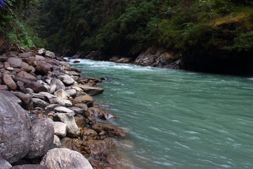
Northeast of Chautara the highway follows the Bhote Koshi river up to Tatopani, the village named for its hot springs. The 2015 Gorkha earthquake damaged the original spring outlets and the bathing infrastructure built around them. The pools have since been rebuilt on a smaller scale, and water temperature and flow still shift with the season and with rainfall, so it's worth asking locally about their current condition before you plan a soak. Past Tatopani the road continues to the Friendship Bridge at Kodari.
The Kodari crossing into Zhangmu has been closed to general tourist traffic since the 2015 earthquake. Limited cargo movement resumed later, but travellers should not assume they can simply walk across. Check the current status with the Department of Immigration or the Nepal Tourism Board before you build a border trip into your plans.
Route Options at a Glance
| Option | Trail Days | Total Trip (incl. travel) | Main Highlights |
|---|---|---|---|
| Helambu Trek (via Sundarijal) | 5 to 7 days | 7 to 9 days | Gradual ascent through Sherpa villages, views of Langtang Lirung, monasteries |
| Panchpokhari Trek | 4 to 6 days | 7 to 10 days | Series of sacred alpine lakes, fewer trekkers, wide Himalayan views |
| Bhote Koshi River Rafting | 1 to 2 days | 2 to 3 days | White water on one of Nepal's steepest rivers, put-in close to the highway |
| Melamchi Valley Walk | Half day | 1 day | Easy trails along the Melamchi river, terraced fields, local market |
Permits: Helambu and the upper Indrawati lie inside Langtang National Park, and the Panchpokhari route crosses protected park land as well. Foreign trekkers normally need a national park entry permit plus a TIMS card; SAARC nationals pay a reduced park fee. Permit fees are revised from time to time, so treat any figure you read online as a starting point rather than a fact, and confirm the current rate and issuing office with the Department of National Parks and Wildlife Conservation or the Nepal Tourism Board. Permits can be arranged in Kathmandu or at park checkpoints before you start walking.
When to Go
- Trekking (Helambu, Panchpokhari): Prime windows are October to November and March to May. The monsoon months bring leeches, slippery trails and near-constant cloud; winter is cold but workable with proper gear.
- Rafting on the Bhote Koshi: Best flows in the post-monsoon and pre-monsoon seasons. High water during the monsoon makes the run extremely dangerous, while low winter water flattens out the rapids.
- Tatopani hot springs: Open year-round in principle, but the soak is most enjoyable in the cooler months. Summer humidity takes some of the pleasure out of it.
Before You Set Out
Road conditions, hot-spring access, permit fees and border arrangements all change with the season and with policy decisions in Kathmandu. Check the latest with the Nepal Tourism Board, the Department of National Parks and Wildlife Conservation or a licensed trekking agency before you commit to an itinerary. Locals along the route are usually the fastest source of news on landslides and closed sections.
What's Your Reaction?