






Flood Risk in Nepal: How to Check Before You Buy, Rent or Build
A step-by-step method for checking flood risk in Nepal before you buy land, rent a home or apply to build, with the documents and offices to ask.

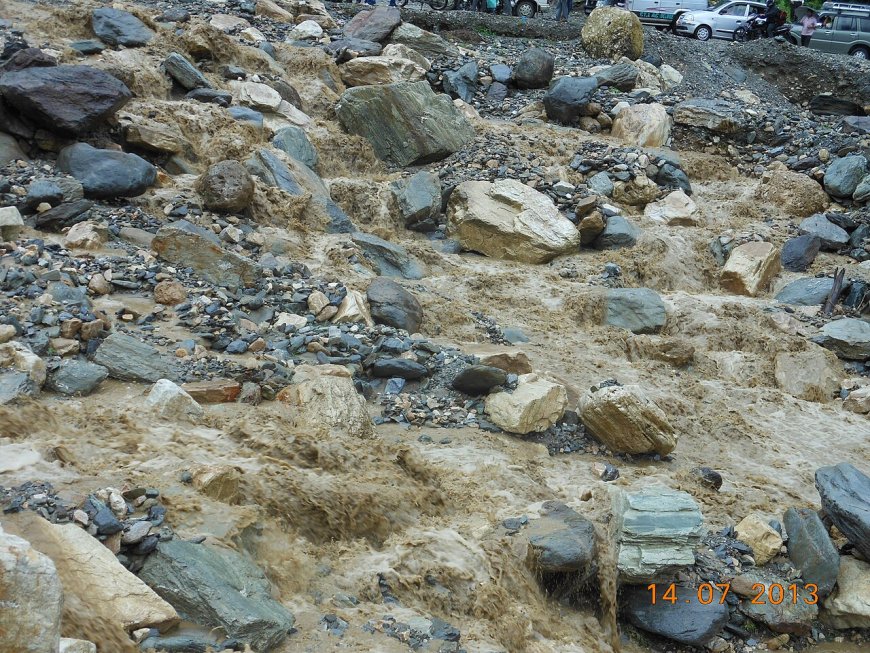
Flood Risk in Nepal: How to Check Before You Buy, Rent or Build
Buying a plot, signing a lease or applying to build all end up at the same question: will water reach this place, and how often? No desk answer is enough on its own. This guide does not hand you a map, an overlay on a plot, or a yes-or-no verdict, because pretending to give one would be dishonest. What it does give you is a method: the documents, questions and offices that let you build a defensible picture of flood risk due diligence in Nepal before you commit money.
What this method can and cannot do
It can organise your questions, put the right papers in your hand and leave you a written trail you can point to later. It cannot certify a plot as safe. Only a qualified site assessment, by a surveyor or engineer who actually walks the land, together with official records, can support a conclusion. Treat this page as research. Where the stakes are high, for a plot you will live on for decades or a building you will finance, pay for professional eyes, and have a lawyer read the papers.
Step 1: Start with the documents you already have
The lalpurja and the plot map (naksa) are your first sources. Get the current copy from the Land Revenue Office or Survey Office rather than relying on a photocopy handed over during negotiation. Read whether the plot adjoins a river or khahare, and whether the mapped boundary follows a watercourse. Our guide to lalpurja verification explains how to read those notations and why river boundaries deserve extra care.
Step 2: Walk the plot, ideally in the monsoon
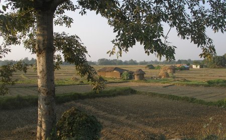
A dry-season visit hides a lot. Where you can, look at the land during heavy rain in the monsoon, which in Nepal runs roughly from June to late September, or in the days just after a heavy spell. Note the distance and direction to the nearest river or khahare. Compare the plot's level with the road and with neighbouring plots. Ask whether the land has been filled, with what material, and how long ago. Fresh fill behaves differently from settled ground. Look upstream for embankments and ask who maintains them and what condition they are in. Trace where the local drainage goes and whether it can carry a heavy fall. Silt lines, debris caught in fences and staining on walls all tell you something about past water.
Then talk to people who have lived there for years. Ask about the highest water they have seen and when. Their memory is a lead, not a record, so write down dates and names anyway and treat each account as something to check, not a fact to publish.
Step 3: Ask the ward office and the municipality
Your ward office is the closest record-keeper. Ask whether the plot or its street has been affected by flooding or drainage backflow, whether the municipality holds any record of it, and what drainage work is planned nearby. The same questions go to Kathmandu Metropolitan City (kathmandu.gov.np), Lalitpur Metropolitan City (lalitpur.gov.np) or Bhaktapur Municipality (bhaktapur.gov.np), depending on where the plot sits, all accessed 2026-10-09. Ask for answers in writing where you can, and note who told you what and when.
If the office will not put anything in writing, you have a route to push on rather than a dead end. Under the Right to Information Act, 2007, public bodies are meant to appoint a public information officer, and a written request to that officer should be answered within 15 days in the ordinary case. Ask the ward office who its information officer is, file your question, and keep a copy of what you filed. A written refusal is more useful than silence, because it tells you exactly what the office says it holds and what it does not.
Step 4: Check rainfall and river-level records
The Department of Hydrology and Meteorology (dhm.gov.np) publishes rainfall and river-level information; accessed 2026-10-09. The National Disaster Risk Reduction and Management Authority (ndrrma.gov.np) publishes disaster risk reduction material and reports; accessed 2026-10-09. Before reading anything into a dataset, check what it actually covers and for which years. A gauge far from your plot describes a district, not a plot, and a short record can miss the very event that matters.
Step 5: If you are building, read the permit file
Building permit flood risk questions belong at the municipality's desk. Our building-permit process guide sets out how the file is assembled. For a plot near a watercourse, ask Kathmandu Metropolitan City or Lalitpur Metropolitan City what conditions attach to that specific plot, and ask whether any valley-level planning condition applies and which office currently holds that mandate. We are not linking a valley authority here, because from this desk we cannot confirm who holds that role in 2026 and a stale link would waste your time. The municipality's planning section can tell you who to write to now. Put the question in writing and keep the reply. If nobody will answer in writing, treat that silence as a gap to close before you spend money, not as an answer either way. The information officer route from Step 3 works here too.
Step 6: If you are renting
Renting in a flood prone area in Nepal needs the same thinking, scaled down. Does the agreement say anything about water damage, repairs or who pays when the ground floor is unusable? Our guide to the rental agreement covers the clauses worth reading. Then ask the landlord directly: has this building flooded, when, how deep, and who fixed it?
Step 7: Questions for insurers and lenders
This section is deliberately questions only. Terms differ by policy and by lender, so no page can list your answers. Ask an insurer whether flood damage is covered, what conditions attach, whether distance from a river or the building's level affects cover, and how a past claim affects renewal or premium. Ask a bank whether insurance is required as a condition of a loan, and which risks it must cover. Get replies in writing and file them with everything else.
A one-page checklist you can print
The same checklist is here in plain HTML. Copy it into a note, or print this page and tick what you have, writing down the date you got each item.
- Current lalpurja and naksa obtained: note the date and the office
- Distance and direction to nearest river or khahare
- Plot level compared with road and neighbours, plus fill history
- Upstream embankments: condition and who maintains them
- Local drainage path and its capacity
- Accounts from long-term residents, with dates and names
- Ward office and municipality answers, in writing if possible
- RTI request filed if an office refused to reply on paper
- DHM and NDRRMA datasets checked, with access date
- Permit conditions for this plot, in writing (if building)
- Lease clauses on water damage and repairs (if renting)
- Insurer and lender answers, in writing
Where the method stops
Keep the file you build. If you come back to a decision months later, check the sources again and re-walk the plot, because embankments, drainage and neighbouring construction all change. If a source is withdrawn or a page you cited disappears, correct your notes immediately. And if someone offers to tell you for certain that a plot will never flood, ask what evidence they are relying on.
What's Your Reaction?