





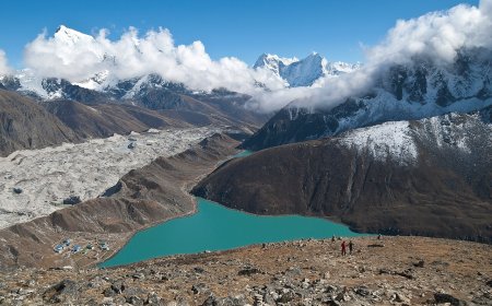

Annapurna Base Camp Trek 2026–27: Route, Permits and Altitude
A practical 2026–27 guide to the Annapurna Base Camp trek: the route from the road head to Base Camp at about 4,130 m, how long the walk takes, a season-by-season table, the two separate permits you need (ACAP entry permit and TIMS card), current guide-rule uncertainty, and honest altitude safety advice for a trek that gains height fast.

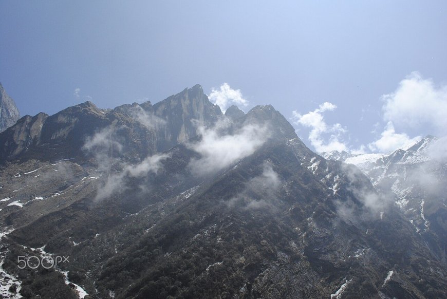
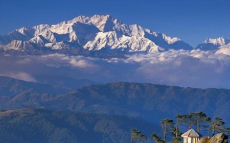
Annapurna Base Camp sits at roughly 4,130 m inside the Annapurna Conservation Area, and the walk to it is one of the few high Himalayan trips that asks nothing technical of you. No ropes, no crampons, no climbing course. You walk in, sleep in teahouses, and walk back out. Which is exactly why the trek rewards some planning: the mountain is rarely the hard part. The altitude and the paperwork are.
Where the Annapurna Base Camp trek actually goes
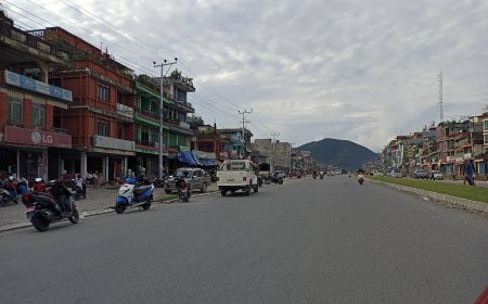
Almost everyone starts at a road head south of the sanctuary. Nayapul has been the classic one for years, though jeep roads now push further up the valley and many trekkers start from Siwa or Jhinu to save a day of dusty walking. From there the route climbs through Birethanti and its checkpost, then up a long set of stone stairs to Chhomrong, the last proper village before the valley narrows.
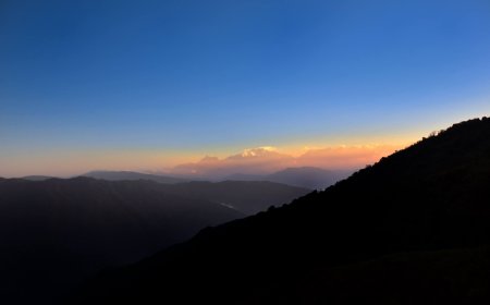
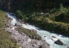
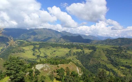
What follows is a deep, steep-sided gorge. You drop to the river at Chhomrong, cross, and work your way up through Bamboo and Dobhan. The forest is dense and wet down there. Above Deurali the trees stop, the valley opens out, and the last stretch past Machhapuchhre Base Camp is bare rock and scree with nothing between you and the weather. Most people sleep at Machhapuchhre Base Camp or push on to Base Camp itself, then turn around the next morning.
The return is usually the same way to Chhomrong, then out via Jhinu Danda and its hot springs. Some itineraries flip the start to include Ghorepani and Poon Hill, which adds two or three days and one very early morning.
How many days you need
Seven to twelve days is the honest range. Seven means a fast, fit walker starting from Siwa with a jeep arranged both ways. Nine or ten is the comfortable middle, with a buffer night at Deurali. Twelve gets you Poon Hill, a slower pace and room for a weather day. If you have never trekked at altitude before, take the longer end. The itinerary is not a race and nobody at Base Camp is handing out prizes for speed.
One common nine-day shape looks like this: Pokhara to Siwa by jeep, walk to Chhomrong. Chhomrong to Bamboo. Bamboo to Deurali. Deurali to Machhapuchhre Base Camp, then Base Camp, sleeping high. Base Camp back down to Bamboo or Chhomrong. Chhomrong to Jhinu for the hot springs. Jhinu out to the road and back to Pokhara. Build it around your own legs, not around a blog post.
When to go
The two reliable windows are autumn and spring. These are broad patterns rather than a forecast, so check the Department of Hydrology and Meteorology outlook and a short-range mountain forecast for your actual dates before you commit.
| Season | What it tends to be like | Worth knowing |
|---|---|---|
| Autumn, late September to November | Clearest skies of the year, stable mornings, the busiest stretch of the season | Nights get properly cold up high by November. Book teahouses on the popular route. |
| Spring, March to May | Rhododendrons in flower, warmer days, more afternoon cloud and haze | Views are softer than autumn. Snow can still sit above Deurali in early March. |
| Winter, December to February | Very cold at Base Camp, quiet trails, short days | Some high teahouses shut. Ice on the upper steps. Only go if you have cold-weather kit and experience. |
| Monsoon, June to September | Rain, leeches in the lower forest, landslide risk on the roads | Many teahouses close and the gorge gets slippery. Not the season to learn on. |
Permits: ACAP and TIMS
Two separate documents cover this trek, and people mix them up constantly. The Annapurna Conservation Area entry permit comes from the National Trust for Nature Conservation and its Annapurna Conservation Area Project office, traditionally in Pokhara. The TIMS card, the Trekkers' Information Management System record, is issued through the Nepal Tourism Board and TAAN counters or through a registered trekking agency. Both get checked at the Birethanti and Jhinu checkposts, so keep them somewhere dry and reachable rather than buried in your pack.
Bring passport photographs and cash. Do not assume card payment at a counter in a trekking town. Fees are revised from time to time, so treat any figure you read online, including on this site, as something to confirm at the counter rather than a fixed price.
Guide rules are the part that shifts most. Nepal announced a licensed-guide requirement for foreign trekkers in 2023, and enforcement has varied by region and season since. For Annapurna, assume you will either hire a licensed guide or book through a registered agency that handles the paperwork properly, and confirm the current position with the ACAP office before you buy flights. Turning up in Pokhara planning to sort it out solo is a gamble, and the counters do not negotiate.
Altitude is the real risk
The Annapurna Base Camp trek gains height quickly in its middle days. You can go from around 2,200 m at Chhomrong to over 3,200 m at Deurali in three days, and then to 4,130 m the day after. That is a fast profile, and fit people get sick on it as readily as unfit ones.
Watch for a headache that does not shift with water and rest, nausea, dizziness, broken sleep, and breathlessness that stays with you while sitting still. The rule that matters is simple: do not climb with symptoms. If they are getting worse rather than settling, go down. Losing a day or a summit is nothing next to what severe altitude illness can do. Confusion, unsteadiness on your feet, or a wet cough at altitude are emergencies, and the answer is descent and medical help, not another night spent hoping.
Tell your guide or your teahouse owner how you feel, and tell them early. For authoritative guidance, read the CDC Travelers' Health page on high-altitude travel or the WHO material on altitude illness before you leave home. Any medication question belongs with your own doctor, not with a trekking blog.
Practical bits worth knowing
Carry more cash than feels sensible. There are ATMs in Pokhara; do not count on them once you are up the valley. Teahouses charge for charging, for hot showers and sometimes for wifi, so small notes matter. Dal bhat is unlimited in most places and is the cheapest way to keep eating well at altitude. A sleeping bag rated for real cold, a head torch, and a waterproof layer that actually works will do more for you than any gadget.
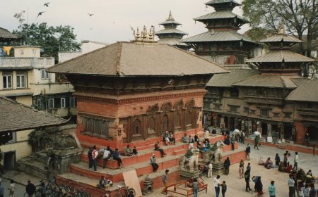
If you are still mapping out the rest of your trip, our Nepal travel guides cover the logistics side, and the heritage sites section is worth a look for the Kathmandu Valley days either side of the trek.
Go in autumn or spring, build in a spare day, sort your permits properly, and take the altitude seriously from the first headache. Do that and Annapurna Base Camp is one of the most rewarding walks in the country, and one you can genuinely do without a climbing background.
What's Your Reaction?