






Kanchenjunga Climbing Guide: Permits, Route, Difficulty and Expedition Planning
A Kanchenjunga climbing guide: permits, the southwest face route, camp structure, season windows and the questions to settle before you commit.

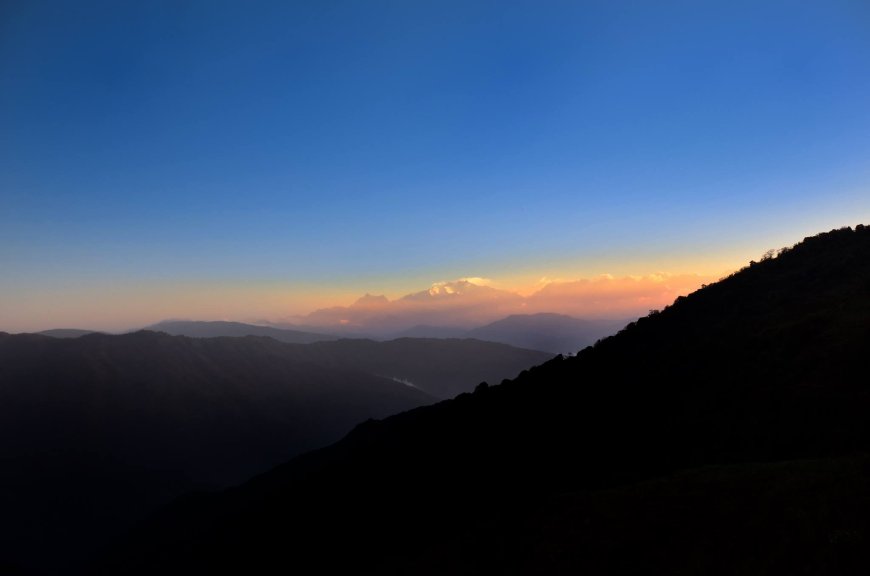
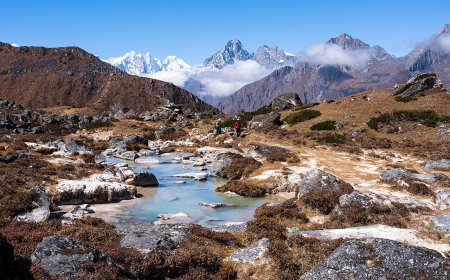
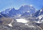
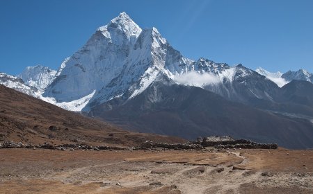
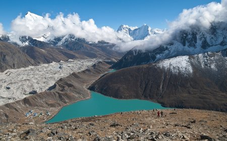
Kanchenjunga Main sits at 8,586 m on the Nepal–India border, the third-highest eight-thousander. Two very different journeys end at the foot of that mountain, and they get confused constantly. One is a trek: weeks of walking through villages and rhododendron forest to high viewpoints. The other is an expedition, with camps, fixed ropes, oxygen and a summit push. This Kanchenjunga climbing guide deals with the second. Permits, route, difficulty, season, and the things worth sorting out long before you pay a deposit.
If you are still deciding which of the two you actually want, start there. The walking side is covered in our Kanchenjunga Circuit trekking guide, so it does not need repeating here.
Trekker or climber? Two trips that only look alike on a map
A trekker and a climber can share the same trail for days and then part ways completely. The trekker carries a duffel, sleeps in lodges, and turns around at a viewpoint or a base camp. The climber keeps going, onto glacier, into a rotation of camps, and eventually onto steep ground where a mistake has consequences.
The paperwork differs too, and this is where a lot of people get their wires crossed. A trekking permit is not a climbing permit. A climbing permit does not cover the conservation area entry. Each document has its own office, its own form, and its own fee structure that we deliberately do not quote here, because figures change and your agency will have the current numbers.
Does a climber need more than one permit?
Yes. Plan on two distinct documents, handled by two different bodies.
The first is the mountaineering expedition permit for the peak itself. These are issued by the Department of Tourism under the Ministry of Culture, Tourism and Civil Aviation (tourism.gov.np). Expect the application to ask for your details, your registered agency's details, a passport copy, a photograph, an itinerary, and whatever medical or insurance evidence the department currently lists. That list is exactly the kind of thing that gets revised, so verify it on the department's own pages close to departure rather than trusting any blog, including this one. If you want the general picture of how peak permits work across the country, we have a separate post on mountaineering permits in Nepal.
The second is the Kanchenjunga Conservation Area entry permit, administered by the National Trust for Nature Conservation through its Kanchenjunga Conservation Area Project (ntnc.org.np). It is a conservation-area document, not a climbing document, and it is normally arranged through your registered agency along with a passport copy.
One point that older guidebooks still get wrong: Kanchenjunga came off Nepal's restricted-area list years ago. The restricted-area permit, and the immigration formalities that came with it, are not part of a standard itinerary inside the conservation area. If an operator quotes you for one, ask them to explain why. Do a quick confirmation with your agency anyway before you file, because rules around protected areas do get adjusted, but treat the two documents above as the working list.
The route most expeditions actually climb
Almost every commercial team goes for the southwest face, the line a British expedition first climbed in 1955. It is not a technically desperate route by eight-thousander standards. It is a long one, on a mountain that makes its own weather and does not always share the forecast.
Base camp sits near Pang Pema on the Kanchenjunga glacier, roughly 5,100 m. From there the climbing stacks up in stages, and every operator's numbers shift slightly with conditions, so treat these as approximate:
- Camp 1, around 5,900 m. Snow slopes and broken glacier, usually the first carry-and-sleep rotation.
- Camp 2, around 6,400 m. A broad upper basin. The last easy ground before things steepen.
- Camp 3, around 7,000–7,100 m. Above the rock band, on the steep section. Fixed rope is standard here and on the ice above it.
- Camp 4, around 7,600 m. The launch point for the summit bid, and a cold, exposed place to spend a night.
Above Camp 4 the route follows the summit ridge, which is where a lot of bids end: wind, spindrift, or a team in front moving too slowly. One thing worth knowing before you commit. Kanchenjunga is sacred to people in Sikkim and the surrounding valleys, and many climbers deliberately stop a few metres below the true top out of respect. Some teams make that a firm rule, others leave it to the individual. Ask your guide which it is, because you do not want to discover the policy at 8,500 m.
How long the whole expedition takes
Six to seven weeks door to door is the usual shape, and the mountain, not the itinerary, decides where in that range you land. Here is roughly where the time goes.
Two or three days in Kathmandu for the briefing, paperwork and gear checks. Then a flight to Bhadrapur and a long drive up into Taplejung district, which can take a day or spill into two. The walk in to base camp runs about eight to ten days through Ghunsa and Khambachen, and it is genuinely one of the best parts of the trip. Helicopter transfers toward the trailhead have become more common and can cut several days off the front end, at a price.
On the mountain, budget three to four weeks. That covers acclimatisation rotations, carrying loads, fixing rope, sitting out weather, and then one genuine summit window if you are lucky. The walk out takes four or five days, faster if you fly from a lower village. Then you need a buffer at the end, because hill flights cancel and the last thing you want is a summit bid cut short by an international ticket.
How hard is Kanchenjunga, honestly
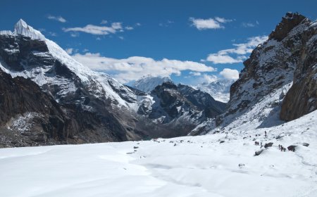
Hard enough that most people treat it as a later-career 8,000 m objective rather than a first one. The approach is long and remote. Once you are on the mountain you are dealing with glacier travel, crevasses, steep snow and ice, fixed rope on the harder sections, and sustained time above 7,000 m where the body stops cooperating.
Then there is the part no paperwork addresses. Seracs fall. Avalanches release. Rock comes down. The weather shuts the route for days at a stretch. No guide, no permit, and no checklist removes that objective hazard, and any operator who implies otherwise is telling you something useful about themselves.
A realistic preparation history includes previous expeditions at 6,000 to 7,000 m, solid glacier and self-rescue skills, and the fitness to carry a load at altitude for weeks. It also helps to have been turned back by a mountain before, and to have taken it well.
When people actually climb
Expedition operators commonly list two windows. Spring, roughly April through May, is the main one. Autumn, from late September into October, is the secondary window and it is shorter, which leaves less margin if the mountain decides not to cooperate. Monsoon and deep winter are not expedition seasons on this peak.
Treat those dates as planning windows, not promises. A season with a bad weather pattern can produce very few summit days regardless of the calendar.
Planning checklist before you commit
Work through this honestly, and be willing to hear a no from yourself.
- Climbing record. Can you point to high-altitude expeditions, not just trekking peaks?
- Medical and dental check. Get anything questionable dealt with months out, not weeks.
- Insurance. Read the exclusions yourself. You want a policy that explicitly covers mountaineering at your highest camp altitude and helicopter evacuation. Many standard travel policies exclude both.
- Permit lead time. Ask your agency when the expedition permit and conservation-area permit get filed, and what they need from you and when.
- Oxygen plan. How much, who carries it, who manages the mask and regulator, and what the turnaround rule is.
- Days in reserve. Weather delays are normal on an 8,000 m peak. A tight itinerary is a cancelled summit.
- Life logistics. Six to eight weeks away affects work, family and money. Sort that before the deposit, not after.
Questions to ask an agency before you sign anything
No recommendations here, and no ranking. You have to satisfy yourself about any agency's record, and the way to do that is to ask direct questions and listen for direct answers.
- Which office files our expedition permit, and can I see the paperwork process?
- How many Kanchenjunga expeditions has this team run in the last few seasons, and who was leading?
- What is the guide-to-client ratio on the upper mountain?
- Who fixes the rope, and how far does the fixing go?
- What oxygen and mask systems do you provide, and what is the policy on use?
- What is the evacuation and rescue protocol, and which insurer or helicopter operator do you work with?
- What insurance does the agency carry, and are Nepali staff covered to the same standard?
- How do you handle a client who wants to push when the forecast is bad?
- Can I speak to past clients from the last two seasons?
Vague answers to any of those are your answer. Kanchenjunga rewards patience and preparation, and it does not owe anyone a summit.
What's Your Reaction?