






Dhaulagiri Circuit Trek Difficulty: Altitude, Weather and Evacuation on Nepal's Hidden Valley Route
An honest look at what makes the Dhaulagiri Circuit hard: two passes above 5,000 m, a night in the Hidden Valley, a narrow weather window and long evacuation times. Includes typical 16-18 day itinerary framing, permit notes, and how the route compares with the Annapurna Circuit.

The Dhaulagiri Circuit trek difficulty doesn't come with an official grade. There is no rating system a trekker can look up, and each operator describes the route in its own language, usually with a number attached. So anyone handing you a single score is probably selling something.
What follows is the shape of the problem rather than a number. The walking is one part of it. Altitude, weather and the distance to real medical help make up the rest. Most itineraries run somewhere between 16 and 18 days, though operators shave or stretch that by a couple of days, and the version you book matters as much as your fitness.
What the route actually asks of you
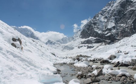
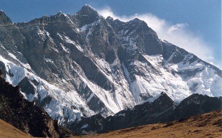
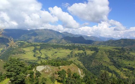
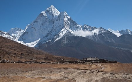
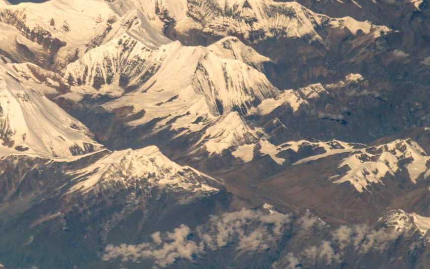
The circuit loops around Dhaulagiri I, the 8,167 m peak that ranks seventh among the world's highest mountains, in Myagdi district. Most itineraries start low, often around Darbang or Beni, and climb through forest and farm villages before the trail opens into moraine and eventually snow.
From roughly Italian Base Camp upward the character changes. Nights are in tents rather than lodges. Porters and kitchen staff move the camp, so you walk with a light pack, but you also go a couple of weeks without a hot shower or a room of your own. If your only experience is teahouse trekking, that shift is bigger than it sounds.
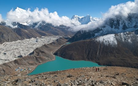
Then come the passes. French Pass is commonly quoted at around 5,360 m, Dhampus Pass a little lower, and the Hidden Valley camp between them sits at roughly 5,050 m. Those figures vary slightly between sources. The point holds either way: two passes above 5,000 m and at least one night sleeping above that height, in a remote place, before you drop toward Marpha and the Kali Gandaki.
Altitude is the difficulty
Long days on rough ground are tiring. Altitude is what puts this route in a different category from a lodge trek in the Annapurnas. Above 5,000 m, sleep gets broken and appetite drops, and a headache that would be nothing at 2,000 m becomes a decision point.
The usual principles apply. Go up slowly, take the rest days, do not push through worsening symptoms, and get someone down if they are getting worse rather than better. I am not going to list medications here. That conversation belongs with a travel medicine doctor who knows your history, not with a trekking blog. If you want the background, our page on altitude sickness on Nepal treks covers symptoms and evacuation thresholds.
What matters just as much is the shape of the itinerary. A schedule with genuine acclimatisation days and a spare buffer day is worth more than any fitness programme. Ask to see the day-by-day plan before booking, and count how many nights you spend above 4,000 m. On most 16 to 18 day itineraries that count reaches several nights, with a rest day placed before the passes. If a plan has you walking into Italian Base Camp and over French Pass three days later, ask why.
Weather, and why the window is narrow
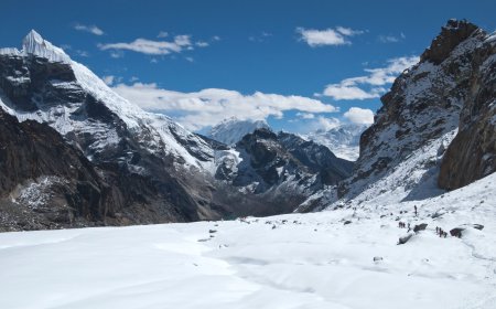
Dhaulagiri sits west of the Annapurna wall, and the Kali Gandaki valley behind it lies in the rain shadow. That helps in monsoon, but it does not turn the circuit into a monsoon trek. The upper route involves snow slopes and a glacier crossing, and the passes are exactly the sort of ground where a few days of bad weather rewrites the plan.
Most groups go in spring, or in autumn once the monsoon has cleared. Late autumn is colder and quieter. Spring tends to be warmer, with more snow still lying high. Winter trips do happen, but they ask for a different level of experience and a guide who has actually done them.
Evacuation is the part people underestimate
Helicopter rescue from the Hidden Valley or below the passes is possible in good weather, and it does happen. It is not a taxi service. Cloud, wind and altitude all limit where a helicopter can land, and the nearest road head is a long walk from the high camps. An evacuation that takes an hour in the Khumbu can take most of a day here, or sit waiting for a weather window.
That is not a reason to be frightened off. It is a reason to ask specific questions. Does the operator carry a satellite communicator? Who makes the call to evacuate? What is the plan from each camp? Does your insurance actually cover helicopter evacuation at the altitudes on your itinerary? Get the answers in writing before you pay a deposit.
Dhaulagiri Circuit vs the Annapurna Circuit
The comparison comes up because so many people do the Annapurna Circuit first, and it is a fair one. The Annapurna Circuit gives you a teahouse bed and a hot meal almost every night, villages within a few hours of most points, and road access that keeps shortening the walk. The Dhaulagiri Circuit gives you none of that above Italian Base Camp. You camp, you carry your own margin, and the exits are measured in days rather than hours.
Terrain-wise the two are not so far apart. Both are yak-and-mule trails, both throw in a big pass day, neither is a climbing route. The gap is support and remoteness. That is why a fit trekker who breezed through Thorong La can find this one a different kind of tiring.
So what is the Dhaulagiri Circuit trek difficulty, really?
Harder than the Annapurna Circuit and harder than the teahouse routes of the Everest region, for the simple reason that you are camping high and the exits are longer. There is no technical climbing expected on the standard line, though expect a rope on the glacier and on the passes when they are icy or snowy, and a guide who knows how to use it.
It is not a sensible first Himalayan trek either. If you have already crossed a 5,000 m pass, slept in a tent for a week and know how your body behaves up high, you are in the right range. If you have not, this is probably not the trip to find out on.
Permits are worth sorting early. The route sits inside the Annapurna Conservation Area, so you need an ACAP entry permit, and most trekkers also carry a TIMS card or whatever local permit the operator arranges. Fees and rules get revised every few years, so confirm the current position with your operator rather than trusting a page written months ago.
And before you trust anyone's account of current conditions, permits or prices, check the details with the operator and with the Nepal Tourism Board. Those things change.
What's Your Reaction?