







Dhaulagiri Climbing Guide: Route, Season and Nepal's Permit Process
A practical Dhaulagiri climbing guide to the north-east ridge: the roughly five-to-seven-day walk-in up the Myagdi Khola, the serac and avalanche exposure above base camp, why most teams budget six weeks or more, why spring dominates over autumn, and how Nepal's Department of Tourism expedition permit process works through a licensed operator.

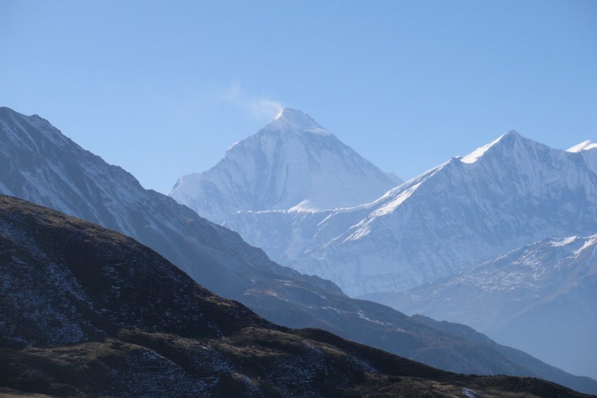
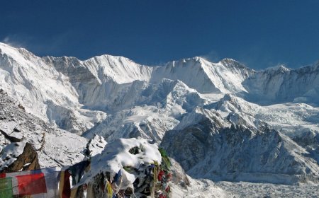
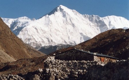
Dhaulagiri I is 8,167 m, the seventh-highest mountain in the world, and it stands wholly inside Nepal. The peak rises in the Dhaulagiri Himal of Myagdi district, west of the Kali Gandaki gorge. Unlike the Nepal–China peaks (Everest, Lhotse, Makalu and Cho Oyu), Dhaulagiri has no Tibetan flank and no shared permit. Like Annapurna I and Manaslu, it is entirely Nepali. This Dhaulagiri climbing guide covers the north-east ridge, the seasons that actually work, and how the expedition permit gets issued.
The north-east ridge: the normal route
The first ascent went up the north-east ridge on 13 May 1960, by a Swiss-Austrian expedition: Kurt Diemberger, Peter Diener, Ernst Forrer, Albin Schelbert, Nawang Dorje and Nima Dorje. Maurice Herzog's French team had reconnoitred Dhaulagiri a decade earlier, in 1950, then decided Annapurna offered the better line. So Dhaulagiri waited another ten years.
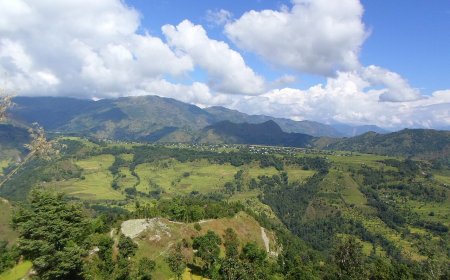
The north-east ridge is still the normal route, and the approach is a serious part of the undertaking. You fly Kathmandu to Pokhara, drive on toward the Beni and Darbang area, then walk up the Myagdi Khola valley to base camp on the Dhaulagiri glacier. Most expeditions budget roughly five to seven days for that walk-in, though it depends on where vehicles can currently go. Road construction has been pushing up the Myagdi Khola for years and the road head keeps moving closer, so no road reaches base camp but the distance you actually walk is shorter than it was a decade ago. Confirm the current road head with your operator before you plan days. Porters do the carrying lower down, with yaks and mules further up the valley.
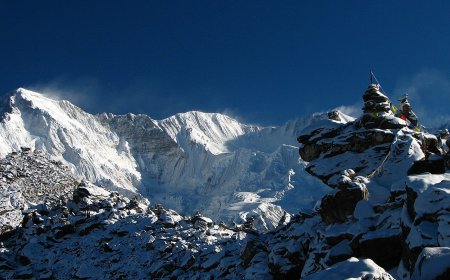
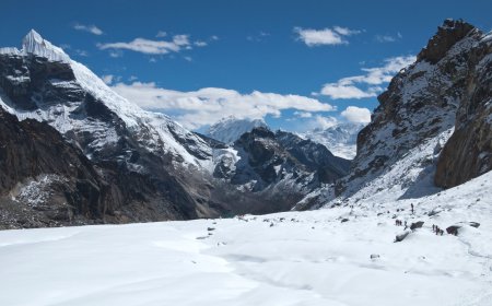
Above base camp the route crosses the glacier and its icefall to gain the ridge, and that section carries real serac and avalanche exposure. Parties move through it early, watch the overhead slopes, and do not linger. The ridge above is long and exposed, with a sustained upper section that takes time and good weather rather than extreme technical difficulty. This is a hazard-exposed 8,000m ridge, not a hard climb in the way a steep face route is hard, and the distinction matters when you judge whether a team is ready for it. Camp altitudes vary between expeditions in the published reports, so treat any neat ladder of figures you find online with suspicion. Read the American Alpine Journal expedition reports for the years you care about, alongside the Himalayan Database records.
Add the pieces up and most teams budget six weeks or more, counting the walk-in, the climbing period and the walk or fly-out. Some run longer. Anyone quoting you a tight three-week Dhaulagiri is describing a different mountain.
Harder lines exist on other ridges and faces of the massif. They see very few attempts and fewer repeats, and they are not what this guide describes. The north-east ridge is what the overwhelming majority of expeditions come for.
Season: spring leads, autumn is a distant second
Spring is the dominant season. The pre-monsoon window, roughly April into early May, is when most Dhaulagiri expeditions run and when the published expedition record is thickest. Autumn ascents happen, but they are uncommon. October brings colder, windier and often snowier conditions on a ridge that already takes time to climb, and a short window suits a long route badly. Winter attempts are rare, and the logistics around them are harder in every respect.
If you want a success rate, count ascents by season yourself in the Himalayan Database and note the date you ran the query, since totals shift as expeditions file reports.
The permit process
Dhaulagiri I is an expedition peak administered by Nepal's Department of Tourism. It is not an NMA trekking peak, so the Nepal Mountaineering Association is the wrong door. That distinction trips people up every season.
You do not apply yourself. A licensed Nepali operator files on the expedition's behalf, and the permit names the peak, the route and the season, which is why an operator with genuine experience of this mountain matters. A liaison officer is assigned to the team. Waste and garbage arrangements are part of the paperwork, not an afterthought.
The entry point is the mountaineering (expedition permit) section of the Department of Tourism site at tourism.gov.np. Fees follow the DoT schedule, and both the schedule and the surrounding rules get revised from time to time, so check the page close to the date you commit money rather than working from a figure in an old blog post. Confirm the current fee with the DoT and with your operator before you build a budget.
What drives the logistics and the bill
Expedition length and cost on Dhaulagiri are shaped by a handful of components. Ask about each one separately instead of accepting a single quoted total. The permit and liaison arrangements. Flights to Pokhara and the road transfer toward the Myagdi approach. Porters and livestock for the walk-in, plus their food and shelter. Base camp food and fuel for the whole team, for however many weeks the expedition actually runs. Oxygen, masks and regulators, if the team is using them. Wages and insurance for high-altitude workers. Helicopter options, whether for a planned base camp transfer or as a contingency. Nepali operator pricing moves with fuel, wages and the rupee, so treat any fixed "cost in 2026" figure you see as a snapshot someone else took on a different day.
Before you book
Ask the operator how many expeditions they have run on Dhaulagiri specifically, not on 8,000ers generally. Ask how many days the itinerary allows above base camp, and what happens if the window closes early. Ask how the oxygen plan works and who carries what. Ask where the road head currently sits on the Myagdi Khola and how many walking days that leaves.
Read your travel and rescue insurance policy line by line: whether mountaineering above a stated altitude is named as covered, whether helicopter evacuation is included, and who authorises a flight. Cover depends entirely on the individual policy, and the answers are in the wording, not in the brochure.
On acclimatisation, look at what operators actually schedule on their published itineraries rather than following advice off a forum. The UIAA Medical Commission publishes consensus statements on high-altitude illness at theuiaa.org/medical-commission, and they are worth reading before you go. Above 5,000 m the body's response is not something you can negotiate with.
What's Your Reaction?