




Gulmi District Headquarters: Tamghas, Resunga Temple and Musikot in Plain Terms
A descriptive guide to Gulmi's headquarters town of Tamghas, the Resunga temple hill, Musikot's bazaar and Ridi, plus an honest look at how hill roads in the district behave. No unpublished statistics are quoted.

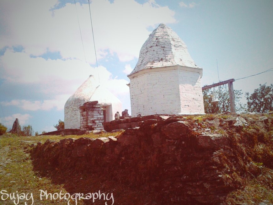
Gulmi is one of those districts most travellers meet in fragments before they meet it whole. A name on a bus board. A bend where the road begins to climb. A ridge with a temple on top, seen from a town that turns out to be the place where the district's offices sit. The district lies in the middle hills of Lumbini Province, and its parts, Tamghas, Resunga, Musikot and Ridi, get talked about so separately that visitors sometimes arrive unsure which one is which.
A note on figures in this guide: No district statistics are quoted in this guide because no dated official source could be confirmed at the time of writing (verified 26 October 2026). Population, area, municipality counts and similar figures are available from the relevant municipality office or the Ministry of Federal Affairs and General Administration.
Tamghas, the headquarters town
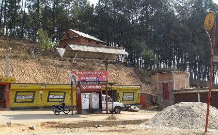
Tamghas is the Gulmi district headquarters, and it behaves like one. This is a working town, not a tourist one. Government offices, a school or two, banks, a health facility, the kind of paperwork-driven traffic that follows an administrative centre wherever it sits in Nepal. The bazaar runs along the road rather than around a square, so the town reads as a single long street that thickens in the middle and thins out at both ends.
Walk it in the morning and you pass people queuing before counters open, students in uniform, porters unloading goods, someone repairing a motorbike on the shoulder. By evening the same street turns slower and colder. Fog is common, and the hills on either side disappear into it without much warning.
What surprises some first-time visitors is the scale. People expect a district headquarters to feel bigger than it does. The town is compact enough to cross on foot in a short walk, which makes it a comfortable base if you plan to spend a day or two in the area rather than pass straight through.
Resunga: the hill above the bazaar
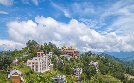
The land rises steeply behind town, and that ridge is Resunga, the name people use for the hill and for the walk up it. The path is not technical, but it is uphill from the first step, and it climbs through forest that stays cool even when the bazaar below is warm.
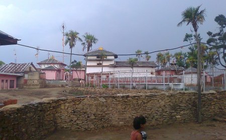
At the top there is a place of worship, the Resunga temple, and a viewpoint that opens over the town and the terraced ridges beyond. Local people walk up early, some for exercise and some out of habit, and visitors usually find the climb worth the sweat even without knowing anything about the site's history. Treat it as a hill first: sturdy shoes, water, and a start early enough that the afternoon haze has not swallowed the view.
Musikot and the market side of the district
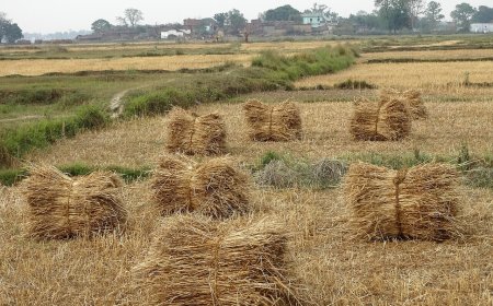
Musikot sits at a different rhythm. Where Tamghas feels administrative, Musikot feels commercial, a market town where roads from several directions meet and goods fan out to the villages around it. Shops spill onto the street. Vehicles load and unload through the day. There is more noise and more movement, and the produce on display tells you more about the surrounding countryside than any brochure would.
For a traveller, the difference between the two towns is worth noticing. Tamghas is where you sort out business or rest; Musikot is where you see the district trading.
Ridi and Ruru Kshetra, down by the water
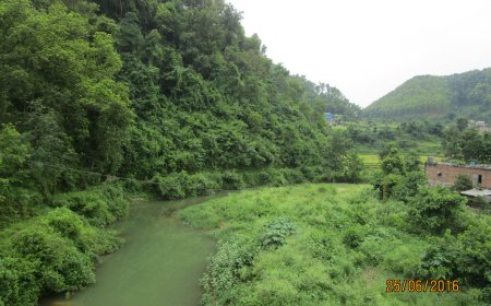
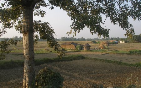
Drop lower and the landscape changes character. Ridi sits at the bottom of the district near water, with the quiet that comes from a place built around a crossing rather than a ridge. Ruru Kshetra is nearby, and the two are usually mentioned together for that reason. The approach on the ground is what stays with people: the road losing height, the air getting heavier, the hills pulling back to let the river through. Keep your expectations descriptive rather than ceremonial and you will read the place better.
What hill roads here actually do
Roads in this part of Nepal are shaped by the ground they cross. Expect switchbacks that double the length of a journey the map draws as a straight line. Expect stretches narrow enough that two vehicles negotiate rather than pass. Expect the horn to be a working tool, not an insult.
Monsoon changes everything. Slopes that held through winter start moving, and a route that was clear on the way in may be blocked on the way out. Maintenance crews clear what they can, but the pattern repeats every year. In the dry months the same roads throw dust instead of mud. None of this is unusual; it is simply how hill travel works, and the reason a short distance on paper can take most of a day on the ground.
Plan around the road, not the map
Practical advice for anyone heading in: travel in daylight where you can, keep a buffer day, and ask about current conditions at the place you are staying rather than trusting a plan made weeks earlier. Schedules in the hills are flexible by nature. Carry cash, since card machines are not universal outside town centres, and pack for cold evenings even in the warmer months.
Gulmi rewards a slower visit. The Gulmi district headquarters at Tamghas, the climb to Resunga, the bazaar noise at Musikot and the quieter ground at Ridi are not separate destinations so much as four ways of reading one district. Give it two days rather than two hours and it starts to make sense.
What's Your Reaction?