






Mahottari District Guide: Jaleshwar, Jaleshwarnath Temple & Highway
A practical guide to Mahottari district in Madhesh Province, covering Jaleshwar town, the Jaleshwarnath Mahadev temple, the East‑West Highway corridor, the Bhitthamore border crossing, and key facts from the 2021 census. Includes current rail status, approximate road distances, and direct links to official sources for verification before travel.

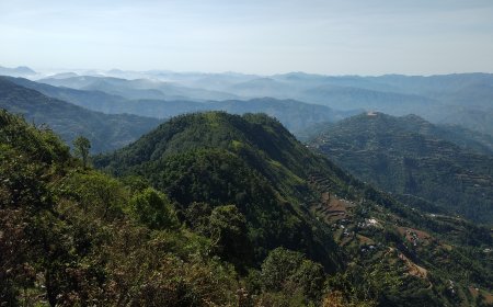
Mahottari sits in the central Terai of Madhesh Province. The district was established under the 2015 constitution; the province adopted the name Madhesh in January 2022. The headquarters is Jaleshwar, a town that grew around the Jaleshwarnath Mahadev temple. To the west lies Sarlahi, to the east Dhanusha (home to Janakpur), to the north the hills of Sindhuli, and to the south the border with Bihar, India. The East‑West Highway — formerly Mahendra Highway, renamed after 2007 — runs east‑west across the district, linking Bardibas in the west to the Dhanusha boundary near Dhalkebar in the east.
Getting around
The East‑West Highway is the main artery. Bardibas, at Mahottari's western edge, also marks the junction where the BP Koirala Highway turns north toward Sindhuli and the Kathmandu valley. Eastbound traffic from Bardibas passes through Jaleshwar municipality before reaching the Dhanusha border. Approximate road distances: Bardibas to Jaleshwar ~20 km, Jaleshwar to Janakpur ~25 km, Bardibas to Janakpur ~45 km. Times vary with traffic and road conditions; check the Department of Roads for current status.
There is no commercial airport in Mahottari. The nearest is Janakpur Airport in Dhanusha, roughly 25 km east of Jaleshwar by road. Flights have been disrupted by runway work; confirm schedules with the airline.
Rail access: the Jaynagar–Janakpur broad‑gauge line was converted and opened to passengers in 2022. The Janakpur–Bardibas extension is not yet in regular passenger service as of 2026. Check the Nepal Railway Company for the latest timetable and station list.
Jaleshwar and the Jaleshwarnath Temple
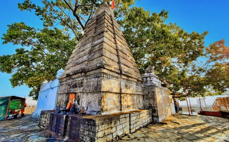
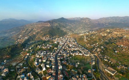
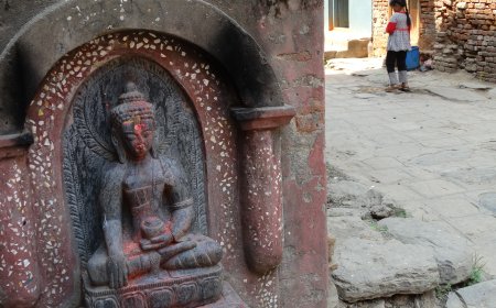
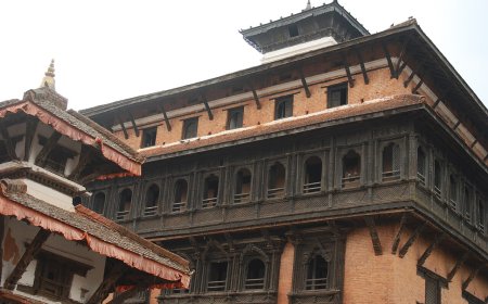
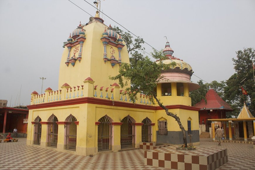
Jaleshwar municipality is the administrative centre. The Jaleshwarnath Mahadev temple sits near the town centre. Local tradition holds that the Shiva linga was discovered submerged in a pond — hence the name Jaleshwar, "lord of water." The complex draws daily worshippers and larger crowds on Mondays and during Maha Shivaratri, which falls in February–March on the lunar calendar. Confirm the exact date for any given year with the Nepal Panchang or the temple trust.
Beyond the main temple, Jaleshwar has a handful of smaller shrines, a weekly haat bazaar, and the district government offices. The town is compact enough to walk, though summer heat and monsoon waterlogging make midday movement uncomfortable.
Border crossing at Bhitthamore
The crossing most used from Jaleshwar is Bhitthamore, opposite Sursand in Sitamarhi district, Bihar. Straight‑line distance from Jaleshwar town is roughly 10–12 km; road conditions vary. Bhitthamore is a designated crossing per the Department of Immigration. Nepali and Indian citizens cross on valid ID documents; third‑country nationals need standard permits. Verify current operating hours and document requirements with the Department of Immigration before travel.
Key facts at a glance
- Population & households: 2021 census (National Statistics Office) — refer to the NSO release for exact figures.
- District area: from the Survey Department / NSO; do not round into a new claim.
- Local levels: 15 total (municipalities and rural municipalities). Official Nepali and English spellings come from the Ministry of Federal Affairs and General Administration (MoFAGA) or the District Administration Office, Mahottari.
- Road distances (approx.): Bardibas–Jaleshwar 20 km, Jaleshwar–Janakpur 25 km, Bardibas–Janakpur 45 km.
Before you travel
Practical details change. Verify road status with the Department of Roads, train service with Nepal Railway Company, border rules with the Department of Immigration, festival dates with the Nepal Panchang or temple trust, and local‑level boundaries with MoFAGA. Treat this page as orientation only.
Last updated: 13 October 2026.
Nearby districts and onward routes
East on the East‑West Highway leads to Dhanusha and Janakpur, a major pilgrimage and transport hub. West leads to Sarlahi and the wider western Terai. North from Bardibas, the BP Koirala Highway climbs toward Sindhuli and the Kathmandu valley — a route that shortens the hill journey but still demands a condition check before departure. South from Jaleshwar, the Bhitthamore crossing opens toward Sitamarhi and the North Bihar rail network.
Mahottari itself is not a major tourist destination in the conventional sense. It is a working Terai district where the highway, the temple, and the border intersect. If your itinerary includes Janakpur, the East‑West Highway, or a Bihar border crossing, Mahottari is the strip of land you will cross — and Jaleshwar is the town where you might pause for tea, a temple visit, or a night's rest before moving on.
Sources: MoFAGA · NSO 2021 Census · Nepal Railway Company · Department of Immigration · Department of Roads
What's Your Reaction?