





Tanahun District Travel Guide 2026: Damauli on the Prithvi Highway
A practical guide to Tanahun district and Damauli, its headquarters on the Prithvi Highway. Covers where Damauli sits in the highway sequence (Muglin, Anbu Khaireni, Damauli, Dumre, Pokhara), how to reach it from Kathmandu, Pokhara and Narayanghat, what there is to see nearby including Vyas Cave, Chundi Ramgha and Devghat, and which months suit a visit.

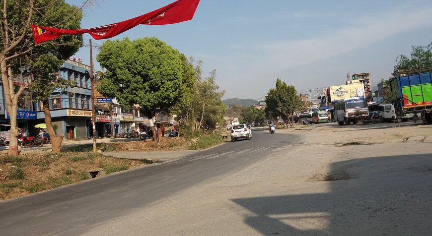
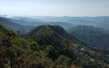
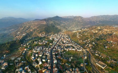
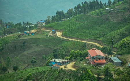
Tanahun is one of those districts most travellers cross without quite noticing. The Prithvi Highway runs straight through it, carrying buses between Kathmandu and Pokhara, and anyone on that route passes the district headquarters at Damauli somewhere in the middle of the journey. Tanahun spreads across Gandaki Province between the Trishuli valley in the south-east and the foothills that climb toward the Annapurnas, which makes it a corridor district: plenty of traffic, comparatively few people who stop. This guide is for the ones who do.
Where Tanahun Sits on the Prithvi Highway
Damauli, the district headquarters, is administered as Vyas Municipality and sits on the Prithvi Highway roughly in the middle of Tanahun. Coming from Kathmandu or Muglin you reach it after Anbu Khaireni and before Dumre. The highway itself carries on west to Pokhara; from Dumre a side road climbs north to Bandipur. Tanahun borders Gorkha to the east, Kaski to the north, Syangja to the west, and Chitwan and Nawalpur to the south. Long-distance traffic mostly passes through rather than stopping, but Damauli is a practical place to break a journey.
Damauli as a Base
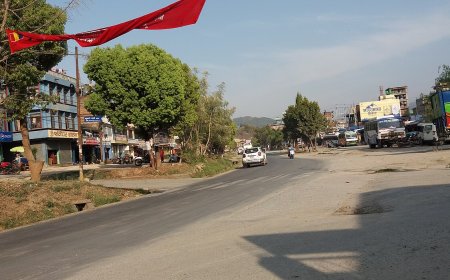
Damauli grew along the highway and works as a transport node rather than a destination. Long-distance buses stop here, and local minibuses fan out from the bazaar to villages across the district. The bazaar has simple lodges, tea shops and restaurants, banks, a hospital, and a daily market that swells on Saturdays with produce, livestock and household goods. If your bus arrives late or you just want a cheap bed and an early start, Damauli does the job. Its tourist role is limited. Bandipur, on the ridge above the highway, is where people actually linger, and it has its own guide.
Getting to Damauli
The highway order, running east to west, is Muglin → Anbu Khaireni → Damauli → Dumre → Pokhara. Keep that sequence in mind and the directions below are straightforward.
- From Kathmandu: follow the Prithvi Highway west through Naubise to Muglin. At Muglin, stay on the Prithvi Highway as it bends north-west; the road down to Narayanghat branches off south here. Continue through Anbu Khaireni, and Damauli is the next town, a short way before Dumre.
- From Pokhara: head east on the Prithvi Highway through Dumre. Damauli comes shortly after, before Anbu Khaireni and Muglin.
- From Narayanghat (Chitwan): take the Muglin road north to where it meets the Prithvi Highway, then turn west toward Pokhara. You pass Anbu Khaireni first, then Damauli, before Dumre.
Public buses, microbuses and private cars all use this route. The Prithvi Highway is the district's main paved through-road; side roads lead to hill settlements such as Bandipur, and the Manakamana cable car base at Kurintar lies further east along the same highway, on the Chitwan side of Muglin.
When to Visit: Seasonal Bands
- October–November: post-monsoon, clear skies, the best hill views of the year.
- December–February: cool, clear days; morning fog often settles in the lower valleys.
- March–April: warm and increasingly hazy before the rains; rhododendron bloom on the higher ridges.
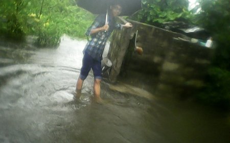
- June–September: monsoon, with elevated landslide risk on hill highways, including the Prithvi Highway and the Bandipur access road.
These bands follow the general Nepal pattern rather than Tanahun-specific measurements.
What to See in and Around Damauli
- Vyas Cave (Vyas Gupha): a modest cave shrine near town, the source of the Vyas name the municipality carries. A short walk or rickshaw ride from the bazaar.
- Chundi Ramgha: a quiet hillside village generally recognised as the birthplace of the poet Bhanubhakta Acharya, with a small memorial and museum.
- Devghat: a pilgrimage site at the confluence of the Kali Gandaki and Trishuli rivers, south of Muglin on the Chitwan side of the district line, reached by branching off the highway. Ghats, ashrams, and a dip in the river if you're so inclined.
- Anbu Khaireni and Bhimad: small market towns on the highway either side of Damauli, each reachable by local minibus. Fine for a half-day look at rural life and hill scenery.
- Market day: if your overnight happens to fall on a Saturday, the main bazaar is worth a stroll.
Related Guides
- Bandipur – the preserved hill town with Newari architecture and mountain panoramas, reached by side road from Dumre.
- Manakamana Temple & Cable Car – the temple in Gorkha district and the cable car service from Kurintar on the highway.
- Tanahun District Overview – broader history, culture, local units and trekking routes.
What's Your Reaction?