



Highest Mountains in Nepal: The Eight 8,000m Peaks, Ranked
Nepal holds eight of the world's fourteen peaks above 8,000m, counting every summit that lies at least partly inside the country. This guide ranks them by height, places each one by region and protected area, explains the Everest height figure, and unpacks why different sources quote different totals once subsidiary tops like Yalung Kang and Lhotse Shar are counted.

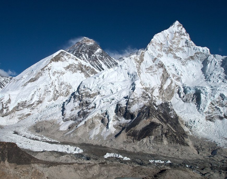
The highest mountains in Nepal all stand above 8,000m, and by the simplest count there are eight of them: the peaks that lie at least partly inside the country. That is the only criterion this list uses. It brings in four summits on the China border, one on the Indian border, and three that stand entirely within Nepal. The six other 8,000m peaks in the world, all in Pakistan or China, are out of scope.
Heights are given in metres. Everest's figure has a story of its own further down; the rest are the standard reference numbers you will find on maps and in climbing literature.
The highest mountains in Nepal, ranked
| Rank | Peak | Height | Where it sits |
|---|---|---|---|
| 1 | Sagarmatha (Everest) | 8,848.86 m | Nepal–China border |
| 2 | Kangchenjunga | 8,586 m | Nepal–India border |
| 3 | Lhotse | 8,516 m | Nepal–China border |
| 4 | Makalu | 8,485 m | Nepal–China border |
| 5 | Cho Oyu | 8,188 m | Nepal–China border |
| 6 | Dhaulagiri I | 8,167 m | Wholly in Nepal |
| 7 | Manaslu | 8,163 m | Wholly in Nepal |
| 8 | Annapurna I | 8,091 m | Wholly in Nepal |
Kangchenjunga also appears in print as Kanchenjunga; both spellings mean the same mountain, and this page uses the first throughout. Ranking is by height alone, which says nothing about difficulty, traffic or cost.
Where the eight peaks actually stand
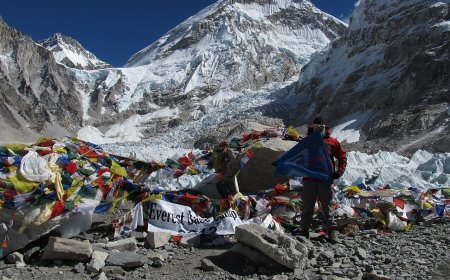
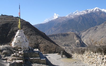
A table gives you numbers, not places, so here is the quick geography. Everest, Lhotse and Cho Oyu all rise around the Khumbu and the Ngozumpa Glacier in Sagarmatha National Park, Solukhumbu district. Makalu stands one valley system further east, inside Makalu Barun National Park in Sankhuwasabha. Kangchenjunga anchors the far north-east in the Kanchenjunga Conservation Area of Taplejung district, with the Sikkim border running along its summit ridge.
Further west, Dhaulagiri I and Annapurna I face each other across the Kali Gandaki inside the Annapurna Conservation Area, and Manaslu sits in the Mansiri Himal within the Manaslu Conservation Area in Gorkha.
Access differs too, and this is where the border matters. Cho Oyu straddles the frontier, but its standard route approaches from Tibet, so most summit parties never set foot on the Nepali side. Everest gets climbed from both. The three wholly Nepali peaks can only be approached from inside the country.
Tops on the same ridge, and why the totals differ
Several of these mountains carry subsidiary tops that some maps mark as separate points. Kangchenjunga has Yalung Kang (Kangchenjunga West) commonly listed at 8,505 m, a central summit at 8,482 m and a south top at 8,476 m. Lhotse carries Lhotse Middle at 8,414 m, sitting on the ridge between the main summit and Lhotse Shar, and Lhotse Shar itself at 8,383 m.
Whether those count as 8,000m peaks depends entirely on which list you are reading. Compilations that record only main summits leave them out; compilations that count every top above the line include them. That is why different sources quote different totals for Nepal, and it is worth checking a source's own criterion before treating a disagreement as an error. If someone claims to have climbed all of Nepal's 8,000ers, the first question is which convention their claim uses.
None of these subsidiary tops is much of a standalone objective today. Yalung Kang was first climbed by a Japanese expedition in 1973 and Lhotse Middle by a Russian team in 2001, but both are now normally reached as part of a route on the parent mountain.
Why Everest is 8,848.86 m
Nepal and China announced that figure jointly on 8 December 2020, replacing the separate numbers each country had used before. It is the one to cite when precision matters, and the one used above. The other seven heights are standard reference values rather than products of a comparable joint survey, and this page does not attribute them to any measurement body or survey date.
Permits and royalty, in outline
Climbing permits for Nepal's 8,000m peaks are issued by the Department of Tourism in Kathmandu, the same system that handles expedition peaks lower down. A royalty is charged per climber and varies by peak and season, with spring generally set higher than autumn. Those two windows are what expeditions plan around, year after year. Work your budget from the department's published schedule rather than from a figure quoted in a blog post, this one included. [[INTERNAL: trekking-permit explainer]] covers the paperwork in more general terms.
Before you go further
Reading a table is the easy part. Reaching a trailhead, entering a national park and arranging a permit involve separate offices, and the Everest region in particular has logistics all its own. [[INTERNAL: Everest-region guides]] and [[INTERNAL: park entry]] cover those steps.
What's Your Reaction?