





Sunsari District: Eastern Nepal's Industrial and Agricultural Hub
Sunsari district in Koshi Province spans Chure foothills to Tarai plains, with Inaruwa as headquarters and Dharan, Itahari driving its economy. Covers 2021 census data, 12 local levels, Koshi Tappu Ramsar site, Barahakshetra pilgrimage, transport, and politics.

Where Sunsari Sits on the Map
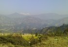
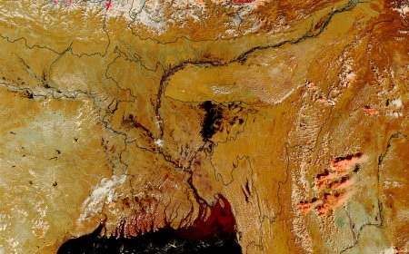
Sunsari district occupies the southeastern stretch of Koshi Province, pressed against the border with Bihar, India. The Koshi River forms its western boundary, separating it from Morang and Dhankuta, while Udayapur lies to the north and Saptari to the west across the river. The district covers roughly 1,257 square kilometres of terrain that drops from the outer foothills of the Chure range in the north down to the flat, fertile Tarai plains that dominate the southern two-thirds of the area. This gradient shapes everything — where people settle, what crops grow, how roads run, and where industry clusters.
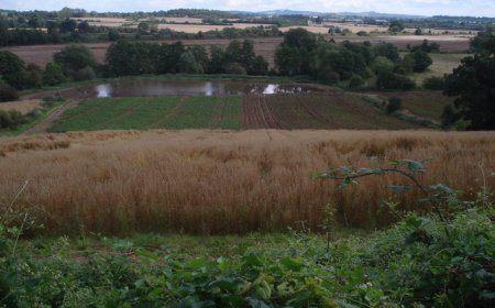
The East–West Highway (Mahendra Highway) cuts horizontally across the middle of the district, linking the major urban centres and serving as the main artery for freight moving between the eastern border crossings and the rest of Nepal. North of the highway, the land rises into the Chure hills, where sal forests and seasonal streams prevail. South of it, the country opens into rice paddies, mango orchards, and the sprawling floodplains of the Koshi.
Inaruwa: The Administrative Centre
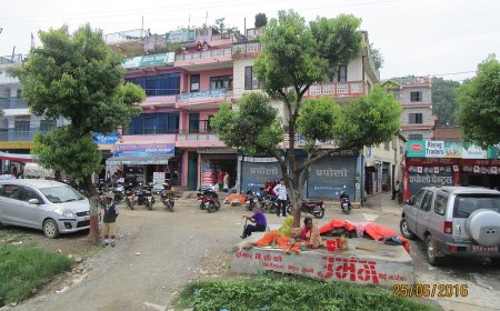
Inaruwa has served as Sunsari's district headquarters since the district was carved out of Morang in 1962. The town sits just north of the highway, about ten kilometres from the Koshi Barrage. It hosts the district administration office, the district court, the land revenue office, and the major security establishments. While it lacks the commercial weight of Dharan or Itahari, Inaruwa's role is fixed by law: every vital registration, land transaction, and district-level permit flows through its offices. The municipality itself covers 77.92 square kilometres and, per the 2021 census, holds a population of just over 74,000.
Local Levels: Twelve Units, Two Tiers
Sunsari contains twelve local-level units — six municipalities and six rural municipalities. The municipalities are Dharan, Itahari, Inaruwa, Barahakshetra, Ramdhuni, and Duhabi. The rural municipalities are Barju, Bhokraha Narsingh, Dewanganj, Gadhi, Harinagar, and Koshi. This structure came into effect with the 2017 local elections under the 2015 Constitution. Each unit has its own elected council, executive, and judicial committee, and each prepares its own annual budget and periodic plan. The MoFAGA local-level listing for Sunsari names all twelve with their types and ward counts; it does not publish a summary count, so the table in this article carries names and types only.
| Local Level | Type | Wards |
|---|---|---|
| Dharan | Municipality | 20 |
| Itahari | Municipality | 20 |
| Inaruwa | Municipality | 10 |
| Barahakshetra | Municipality | 14 |
| Ramdhuni | Municipality | 9 |
| Duhabi | Municipality | 9 |
| Barju | Rural Municipality | 6 |
| Bhokraha Narsingh | Rural Municipality | 7 |
| Dewanganj | Rural Municipality | 6 |
| Gadhi | Rural Municipality | 7 |
| Harinagar | Rural Municipality | 6 |
| Koshi | Rural Municipality | 7 |
Population and Demographics at a Glance
The National Statistics Office's 2021 census put Sunsari's total population at 926,258 — 449,939 male and 476,319 female — across 197,382 households. The district's population density works out to about 737 people per square kilometre, well above the national average, reflecting the concentration in the Tarai belt. Literacy for the population aged five years and above stood at 79.7 percent (male 85.6 percent, female 74.2 percent). The major caste and ethnic groups include Yadav, Tharu, Brahmin–Chhetri, Muslim, Rai, Limbu, and Newar communities, with Maithili, Nepali, Tharu, and Rai among the commonly spoken languages. These figures come from the NSO 2021 census district report, accessed November 2024; no newer official count exists as of this writing.
Dharan and Itahari: The Twin Engines
Dharan and Itahari together account for a disproportionate share of the district's economic output, formal employment, and in-migration. Dharan, perched on the southern edge of the Chure foothills, grew around the British Gurkha Recruitment Depot established in the 1950s and later around the BP Koirala Institute of Health Sciences, which opened in 1993. The city's 20 wards spread across 192.32 square kilometres, and its 2021 population was 173,096. Itahari, by contrast, sits squarely on the highway at the junction where the north–south Koshi Highway meets the east–west corridor. That location turned a market village into a logistics and trading hub. Itahari's 20 wards cover 93.78 square kilometres and held 198,098 people in 2021 — making it the district's most populous local unit. Both cities have dedicated pages on this site covering their history, ward profiles, and current development plans.
Koshi Tappu: Wetland of International Importance
The Koshi Tappu Wildlife Reserve occupies 175 square kilometres of the Koshi River floodplain in the district's southwestern corner. Designated a Ramsar site in 1987, it protects one of South Asia's most significant wetland ecosystems. The reserve hosts the last wild population of the wild water buffalo (Bubalus arnee) in Nepal, along with over 485 bird species, including the endangered Bengal florican and swamp francolin. Seasonal flooding maintains the mosaic of grasslands, oxbow lakes, and riverine forest that makes the habitat viable. The Ramsar Sites Information Service entry (RIS no. 380, accessed November 2024) lists the designation year as 1987 and the area as 17,500 hectares. Tourism here is low-key — birdwatchers, researchers, and a trickle of domestic visitors — but the reserve's ecological value extends far beyond its boundaries: it acts as a flood buffer, a groundwater recharge zone, and a genetic reservoir for wetland species.
Barahakshetra: Pilgrimage and Settlement
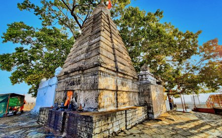
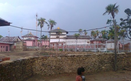
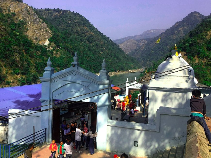
Barahakshetra Municipality takes its name from the Baraha Temple, a Vishnu shrine on the banks of the Koshi River that draws Hindu pilgrims year-round, with a sharp spike during the Kartik Purnima festival. The municipality was formed in 2017 by merging several former VDCs and spans 222.09 square kilometres across 14 wards. Its 2021 population was 85,223. Beyond the temple complex, the area is largely agricultural, with wheat, maize, and sugarcane as the main crops. Access from the highway is via a paved feeder road that turns north at Laukahi; during monsoon, the Koshi's swollen tributaries can make the last stretch difficult. The municipality's own website and the MoFAGA district profile both confirm its status and the access route.
Transport: Fixed Geography, Evolving Network
The East–West Highway remains the district's backbone. The 42-kilometre stretch within Sunsari is fully paved and four-laned through the urban sections (Dharan–Itahari–Inaruwa), with two-lane sections elsewhere. The Koshi Barrage, completed in 1962 with Indian cooperation, carries the highway across the river and doubles as a regulator for irrigation and flood control. A second major crossing, the Chatara Bridge on the Koshi Highway (NH08), links the Tarai to the hill districts of Dhankuta and Bhojpur. As of the Department of Roads' 2023–24 progress report, the Koshi Corridor (NH08) is being upgraded to two-lane standard from Chatara northward, but the section within Sunsari is largely complete. No railway reaches the district; the nearest Indian railhead is Jogbani, across the border from Biratnagar in neighbouring Morang. Bus and microbus services connect all twelve local-level headquarters to Itahari and Dharan multiple times daily.
Economy: Agriculture, Industry, and Remittances
Rice, maize, wheat, sugarcane, and jute dominate the agricultural calendar. The southern VDCs — now part of Koshi, Bhokraha Narsingh, Harinagar, and Barju rural municipalities — produce the bulk of the district's grain surplus. Industry clusters around Dharan and Itahari: textile units, food processing (especially noodle and biscuit factories), steel fabrication, and a growing number of cement depots. The Dharan Industrial Estate and the Itahari Special Economic Zone (notified 2019, still developing) anchor formal manufacturing. Remittances from workers in India, the Gulf states, and Malaysia fund a significant share of household consumption and housing construction; the 2021 census recorded that 18.4 percent of households had at least one absent member abroad.
Politics: Five Federal Constituencies
Sunsari sends five members to the House of Representatives (constituencies 1 through 5) and ten to the Koshi Provincial Assembly. The Election Commission Nepal's 2022 general election results show a mixed picture: the Nepali Congress won constituencies 1, 2, and 4; CPN (UML) took constituency 3; and the Rastriya Swatantra Party secured constituency 5. Voter turnout across the district averaged 68.3 percent. Provincial assembly seats split roughly along the same lines. These results are drawn from the ECN results portal, accessed November 2024; byelection outcomes after that date would supersede them.
Health and Education Infrastructure
BP Koirala Institute of Health Sciences in Dharan is the district's only tertiary-care teaching hospital and serves as a referral centre for the entire eastern region. Inaruwa District Hospital and Itahari Sub-Regional Hospital provide secondary care. Each local level operates a basic health unit or primary health centre, though staffing and drug supply remain inconsistent in the rural municipalities. On education: the district hosts 487 community schools, 142 institutional schools, and multiple campuses affiliated with Tribhuvan and Purbanchal Universities. Literacy gains since 2011 are notable, but the gender gap persists, especially in the southern rural municipalities where early marriage and seasonal migration disrupt girls' schooling.
Environmental Pressures
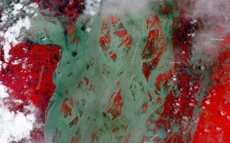
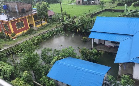
The Koshi River's shifting course is the defining environmental risk. The 2008 breach at Kusaha (in neighbouring Saptari) inundated thousands of hectares in southern Sunsari, and the memory shapes local demand for embankment maintenance. Sand mining along the Koshi and its tributaries — Budhi, Tengra, and Sunsari kholas — has intensified since 2015, lowering riverbeds and threatening bridge foundations. The Chure Conservation Programme, active since 2011, aims to curb deforestation and slope destabilisation in the northern wards of Dharan, Barahakshetra, and Gadhi, but illegal logging and uncontrolled quarrying persist. Air quality in Itahari and Dharan frequently exceeds WHO guidelines during the dry season, driven by brick kilns, vehicular emissions, and dust from unpaved feeder roads.
What Makes Sunsari Distinct
Few Nepali districts compress such variety into a single administrative unit: a foothill university town with a teaching hospital, a highway junction that grew into a logistics city, a Ramsar wetland of global significance, a major Hindu pilgrimage site, and a productive agricultural basin that feeds both local markets and the eastern Tarai's grain trade. The district's challenges — flood vulnerability, Chure degradation, urban sprawl outpacing infrastructure — are not unique, but their convergence here makes Sunsari a microcosm of the tensions shaping Nepal's Tarai–hill interface. Understanding the district means holding all these layers at once: the administrative map, the ecological realities, the migration flows, and the political geography that determines where resources flow.
Sources
- Ministry of Federal Affairs and General Administration (MoFAGA), Sunsari District Profile, accessed November 2024 — confirms Inaruwa as headquarters, local-level names and types, ward counts.
- MoFAGA, Local Level Restructuring Schedule for Sunsari, 2017 — basis for the twelve-unit table.
- National Statistics Office (NSO), National Population and Housing Census 2021, District Report: Sunsari, accessed November 2024 — population, household, literacy, absent-household, and caste/ethnicity figures.
- Ramsar Sites Information Service, Koshi Tappu Wildlife Reserve (RIS no. 380), accessed November 2024 — designation year 1987, area 17,500 hectares, ecological notes.
- Barahakshetra Municipality official website, accessed November 2024 — municipality status, area, wards, access route.
- Department of Roads, Annual Progress Report 2023–24, accessed November 2024 — highway and Koshi Corridor upgrade status.
- Election Commission Nepal, House of Representatives and Provincial Assembly Election Results 2022, Sunsari constituencies 1–5, accessed November 2024 — winners, turnout.
What's Your Reaction?