





Sunsari District Guide: Dharan, Itahari, Barahakshetra and the Way to Koshi Tappu Wildlife Reserve
A practical guide to Sunsari District in eastern Nepal, covering Itahari, Dharan, the pilgrimage site Barahakshetra, and Koshi Tappu Wildlife Reserve. It points readers to official sources for permits, road conditions, and weather, and notes the district headquarters Inaruwa.

A note before you read: travel details in Nepal's eastern Terai change constantly. Instead of quoting permit fees, bus fares, timetables or road conditions that could already be out of date, this guide points you to the government office that publishes each one. Check the source before you travel.
Where Sunsari sits
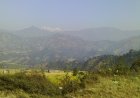
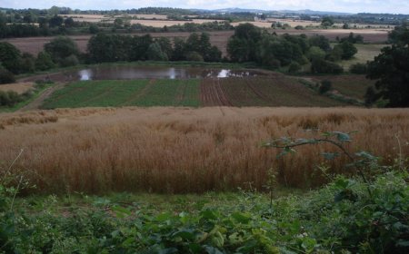
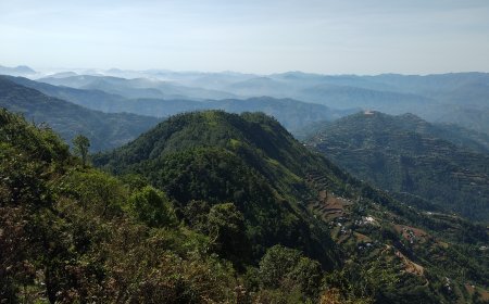
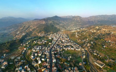
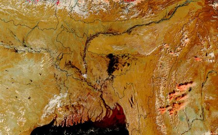
Sunsari is a district of Nepal's eastern Terai, in Koshi Province. It covers the flat, densely farmed land between the Koshi river along its western edge and Morang district to the east. To the north the ground lifts into the Chure foothills, and that line of low hills gives the district two very different moods: paddy fields and highway towns in the south, forested slopes and cooler air in the north.
For anyone moving overland through eastern Nepal, Sunsari is hard to avoid. The Mahendra Highway (the main east‑west highway) runs straight through it, and the northbound Koshi Highway branches off toward the hills.
Itahari: the junction
Itahari is where those two roads meet, and that is really its identity. It is a busy, commercial, unpretentious town built around traffic: hotels, workshops, bus counters, warehouses. Most travellers see it in passing, and plenty use it as a night stop before heading north or continuing east.
People travelling to the eastern hills, to Dharan, or onward toward Koshi Tappu often end up here first. There is not a lot of sightseeing. The value of Itahari is that things move through it.
Dharan
Dharan lies a short way north of Itahari, where the plains meet the foothills. It feels bigger and older, with bazaars on sloping streets and a long history as a base for people heading further up, toward Bhedetar, Dhankuta and the road east into the tea country.
Because it sits slightly higher, evenings in Dharan are usually more comfortable than in the flats below during the hot months.
Getting between Itahari and Dharan
The two towns are joined by road, and it is a heavily used stretch: local buses, jeeps, motorbikes and freight all share it. Fares and departure times are not published here because operators change them without notice. Ask at the counter or book through the operator's own channel and confirm the price before you board. For the road's current condition, use the official channels listed further down rather than a blog.
Barahakshetra
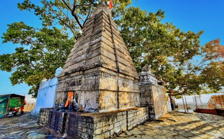
On the banks of the Koshi, a short drive west of Itahari, sits Barahakshetra — one of the most important Hindu pilgrimage sites in eastern Nepal. The temple complex draws thousands during the Kartik and Magh festivals, and the area is also a gateway for river‑side birding. If your itinerary allows a half‑day detour, it is worth the stop.
Koshi Tappu Wildlife Reserve
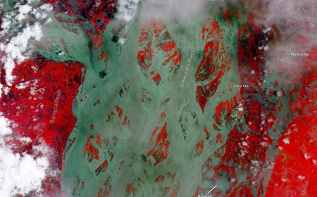
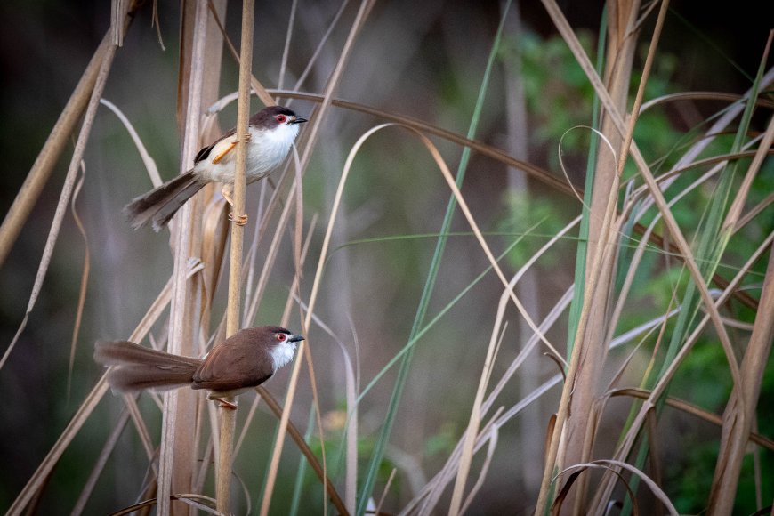
West of Itahari, the Koshi river spreads across a wide floodplain that has been protected as the Koshi Tappu Wildlife Reserve since 1976 and designated a Ramsar wetland of international importance in 1987. It is the part of Sunsari visitors ask about most, and also the part where bad information travels fastest. The protection status and the rules that apply to visitors are set by the Department of National Parks and Wildlife Conservation. Check that department's own site on the day you plan to go, rather than trusting an old guidebook or a forum post.
Where to check current entry requirements
Fees, permits, opening arrangements and guide requirements for Nepal's protected areas are set and revised by the Department of National Parks and Wildlife Conservation (DNPWC). It is the only source worth quoting for these: dnpwc.gov.np. If you are travelling with an operator, ask which authority issued the permit and exactly what it covers.
Where to check road and weather conditions
Three official sources matter more than any travel blog for the eastern Terai.
- Department of Roads (dor.gov.np) for highway status and maintenance notices.
- Nepal Police (nepalpolice.gov.np) for advisories and incident information along the routes you plan to use.
- Department of Hydrology and Meteorology (dhm.gov.np) for rainfall and river‑level bulletins, especially through the monsoon months, which in Nepal generally run from around June into September.
District administration and official contacts
The district headquarters is Inaruwa, and the District Administration Office (DAO) Sunsari is located there. For anything administrative — local government queries, land matters or disaster response contacts — the DAO is the starting point, with the Ministry of Federal Affairs and General Administration as the parent ministry. Current local‑level lists, ward details and office phone numbers are published through those offices. Find the current listing on the DAO's own page or through the ministry's site.
Sunsari rewards travellers who plan around what they can actually confirm: a place to sleep in Itahari or Dharan, a route checked against official sources on the morning of travel, and entry rules taken from the department that issues them. That makes for a duller guide than one full of fares and timetables, and a good deal more likely to still be right when you arrive.
For more on neighbouring areas, see our guides to Morang District, Dhankuta District, and the Koshi Province overview.
What's Your Reaction?