




Mount Lhotse: Height, Location, First Ascent and the South Col Route It Shares With Everest
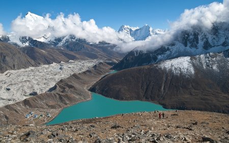
Mount Lhotse is the world's fourth highest mountain at 8,516 metres, on the Nepal-China border just south of Everest. It was first climbed on 18 May 1956 by Ernst Reiss and Fritz Luchsinger, and its standard route shares the Everest South Col approach and the Lhotse Face before splitting toward the summit ridge.

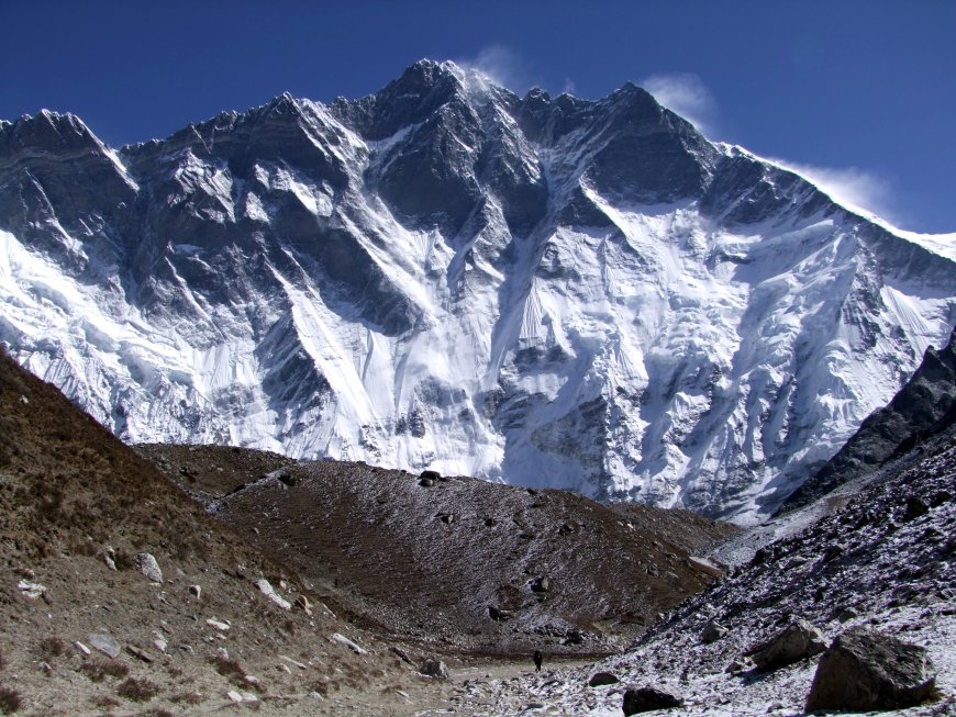
Height and world rank
Mount Lhotse rises 8,516 metres (27,940 feet) above sea level, which makes it the fourth highest mountain on Earth. Its topographic prominence is about 610 metres. In the ranking of the world's 8,000-metre peaks it sits behind Everest, K2 and Kangchenjunga, and ahead of Makalu.
Location, country and coordinates
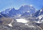
Lhotse stands on the border between Nepal and the Tibet Autonomous Region of China, in the Mahalangur Himal sub-range of the Himalayas. Its summit is mapped at roughly 27°57′42″ north, 86°56′00″ east. The mountain lies immediately south of Everest and is joined to it by the South Col. Its western flank forms the southern wall of the Western Cwm.
Naming and neighbouring summits
Lhotse means "South Peak" in Tibetan, a straightforward reference to where it sits relative to Everest. The massif carries two notable subsidiary summits. Lhotse Shar is usually given as 8,383 metres, and Lhotse Middle as 8,414 metres. Lhotse Middle was the last of the three to be climbed, finally seeing a summit party in 2001 after years of failed attempts.
First ascent
A Swiss expedition made the first ascent in 1956. Ernst Reiss and Fritz Luchsinger reached the summit on 18 May 1956, climbing by what is now the standard route from the South Col. The mountain had been attempted before, but the combination of the Lhotse Face and the final summit ridge had turned back earlier teams.
The South Col route and the Lhotse Face
Lhotse's normal route borrows most of the Everest South Col approach. Climbers start in the Khumbu Icefall, work up through the Western Cwm, and follow the same line to the South Col before the routes split. From the col, the Lhotse route turns onto the summit ridge and follows it to the top, a section that is steep, exposed and often windy.
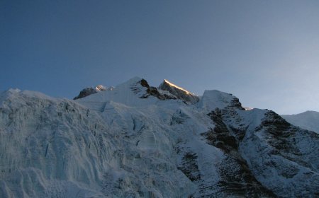
The Lhotse Face is the ice and snow wall forming the mountain's western flank, rising from the Western Cwm up to the South Col. On the Everest South Col route, climbers cross this face between Camp III and the col. It is a long, sustained slope of blue ice and hard snow, and in the climbing season it is normally fixed with ropes for much of its length. The face belongs to both mountains in practice: its upper reaches are the last stretch before the South Col, the saddle that links Lhotse and Everest.
Lhotse and Everest are separate summits divided by the South Col, a broad, wind-scoured saddle at roughly 7,900 metres. Everest, at 8,848.86 metres following the 2020 joint Nepal-China announcement, is about 333 metres taller. The two peaks are often climbed in the same expedition because they share the approach through the Khumbu Icefall and the Western Cwm, and both use the South Col as a high camp.
What's Your Reaction?