




Pyuthan District: A Practical Guide for Travellers and Walkers
A rebuilt, claim-light guide to Pyuthan district for travellers and walkers: how the district is administered today, how the road in from Dang actually behaves, what to expect at Khalanga and Sworgadwari, why the village footpaths are not trekking routes, and the practical trade-offs of visiting a middle-hills district with almost no visitor infrastructure.

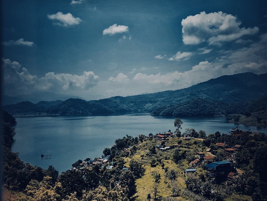
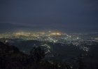
Pyuthan is one of the middle-hill districts of Lumbini Province, west of Kathmandu and north of the flatlands of Dang. Khalanga, the headquarters, sits on a ridge above the Jhimruk River, and the town's shape comes straight from that ridge: a main street along the top, lanes dropping away on both sides, and long views whenever the air is clear.
Most outsiders who pass through are going somewhere else, usually toward Rolpa or the Rukum side. That is part of what makes Pyuthan useful. You get middle-hill country without the traffic of the established trekking corridors. The trade-off is real, though. Visitor infrastructure here is thin, and a trip works much better if you plan around that instead of expecting it to appear.
Where Pyuthan sits, and why the geography matters
The district runs from the edge of the inner Terai up into high northern ridges. Arghakhanchi and Gulmi lie to the east, Rolpa to the west, Dang to the south, and the Rukum side to the north.
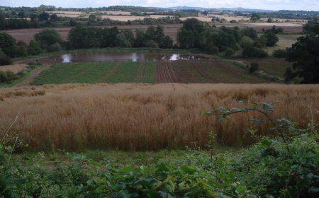
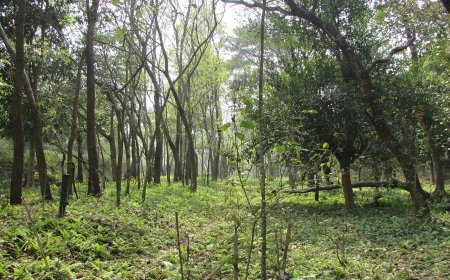
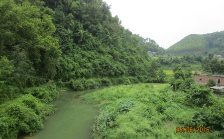
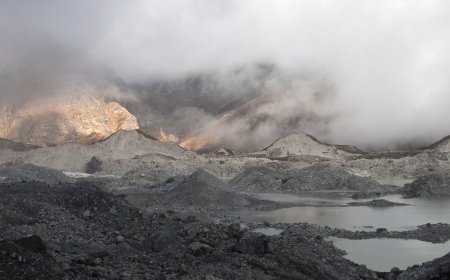
That south-to-north stretch is the interesting part. The lower south is warm, heavily farmed and easy to move through. Head north and the land lifts through terraced middle hills into cooler forest and grazing country. Within a few days of walking you can move from rice and banana country into oak and rhododendron. For a district that gets so little attention, it covers a lot of ground.
The practical consequence: north-south travel is steep and slow, while east-west travel along the ridges is easier going. Plan your days around that, not around straight-line distance.
How the district is administered, and why a visitor should care
Nepal's local government no longer runs on Village Development Committees. Since the country moved to a federal structure, districts have been divided into municipalities and rural municipalities, each broken into wards. Pyuthan contains both kinds.
This matters for you because the ward office is where almost everything practical starts: finding a homestay, hiring someone who knows a trail, locating a health post, or asking whether a path is still in use. The rural municipality or municipality office is the level above. The district administration office in Khalanga handles official matters.
Terminology matters too. Older maps, older guidebooks and a great many websites still say "VDC", and villagers may use the old names out of habit. If you are dealing with an office, use the current name and the current ward number. And take the current list from the office itself. Any blog, this one included, is the wrong source for that.
Arriving by road
Nearly everyone comes in from the south, off the east-west highway, turning north at the junction at Bhalubang in Dang and climbing from the Babai valley into the hills. Some stretches of the road are sealed, some are not, and which is which depends on the season and on whichever maintenance cycle last reached that section. Treat any travel time someone quotes you from a previous year as a rumour.
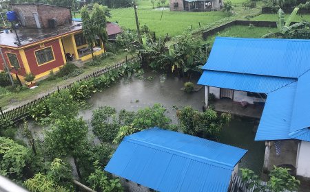
Monsoon is the thing to plan around rather than complain about. Landslides on hill roads are not unusual events in Nepal. They are the normal summer pattern. A stretch that is an easy morning drive in November can be shut for a day or more in July. Ask locally before setting out, travel in daylight, and don't aim to be on the last vehicle through.
Pyuthan has no airport of its own, so arrivals are by road. If you are coming from Kathmandu, chaining a flight to a hill road in a single day usually costs more in stress than it saves in time.
Buses and shared jeeps
Public vehicles run up from the Dang side through the morning and early afternoon, and the last departure tends to leave earlier than a visitor expects. Fares move with fuel prices, so any figure you read online is a rough guide at best. In the dry season the services are dependable. In the monsoon they run when the road allows, and the answer you get at the counter in the morning may not be the answer at noon.
Two habits help. Build in a spare day in each direction, and understand that these vehicles generally leave when they are full rather than at a fixed time.
Khalanga and the bazaar
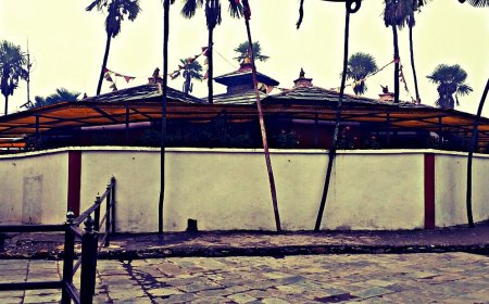
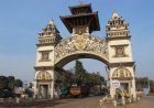
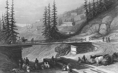
The bazaar is small and walkable, strung along the ridge. Stone steps drop from the main chowk toward the Jhimruk River, where a suspension bridge carries the path onward. Pyuthan was one of the Chaubisi principalities, and you can see that history in the older temple architecture and carved stonework around the town. Ask locally what is open and appropriate to visit, and ask before photographing inside a shrine.
Sworgadwari
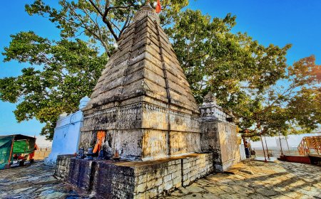
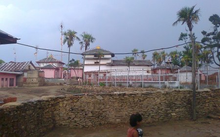
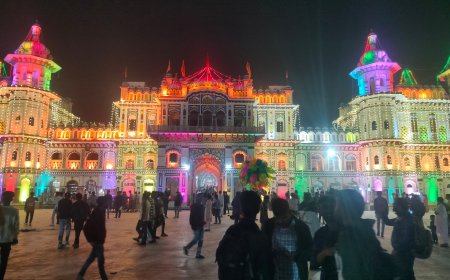
Sworgadwari is the district's best-known pilgrimage site, a hilltop temple complex that draws steady numbers of pilgrims and much larger crowds around major festivals. It is a religious place first and a viewpoint second, so dress and behave accordingly, and expect the busiest days to be busy.
These days people reach it by road as well as on foot. Ask in Khalanga about the condition of the access road before committing, since hill roads change with the season. Walking up is a genuine option for anyone reasonably fit, but it is a climb, not a stroll.
Walking in the district
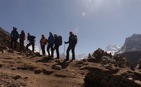
Be clear about what these paths are. They are village footpaths, used for school runs, market days and moving livestock. They are not trekking routes. There are no markers, and on most of them there are no tea houses or lodges.
A trail that looks obvious on a map may be overgrown, rerouted around a landslide, or simply a shortcut that the mapmaker liked. A guide from the area is worth paying for, and not only for navigation. If you go without one, carry a paper map, tell someone where you are heading, and turn back earlier than feels necessary. Late-afternoon decisions on unfamiliar ground are where people get into trouble.
Homestays exist in some villages but are arranged informally, often through the ward office or by asking around. Do not assume a bed will be there. Carry cash. Ask permission before crossing obvious farmland, close gates, take your rubbish out, and respect community forest rules. A path through someone's field is not the same as a public right of way.
Money, phones, health and permissions
- Cash: banks and ATMs operate in Khalanga, but they can run dry, especially around festivals. Carry enough for several days beyond what you think you need.
- Connectivity: mobile coverage works in town and along the main road and fades in the side valleys. Download offline maps before you leave the highway.
- Health: the district hospital in Khalanga handles routine problems. Anything serious goes by road to larger centres in Dang or Butwal, and evacuation by helicopter is arranged case by case and is expensive. Travel insurance that covers it is worth the money.
- Water and food: treat drinking water, and eat where local people are eating.
- Permits: ask at the district administration office before you cross into neighbouring districts. Rules on restricted areas vary by place and change over time, and this is not something to take from a blog.
When to go
Late autumn into early winter gives you the most stable weather, the clearest mountain views and comfortable walking temperatures. Spring is warmer, with rhododendron flowering on the higher ridges, though views tend to be hazier. The monsoon turns everything green and makes the roads unreliable, so it only suits you if your dates are flexible. High ridges are cold in midwinter while the lower south stays mild.
What to expect, honestly
Pyuthan is not set up for visitors, and that is the whole trade-off. You get no crowds, no entry queues, no touts. You also get no signage, no booking platforms, sparse transport and a genuine need to ask directions and ask permission. If you want a place where everything works without you, this is not it. If you want hills, temples and paths where the day's plan is decided by the road and the weather, it is a good place to slow down in.
What's Your Reaction?